


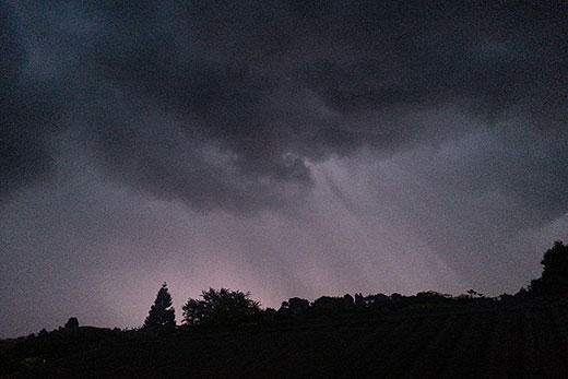
It may be the end of the school holidays, but it's certainly not the end of the wild weather.
As the school holidays draw to a close, the wild spring weather is showing no sign of easing.
Some more stormy moments are in store for the North Island. File photo.
Spring weather is characterised by strong westerly winds and fast moving fronts racing across New Zealand, bringing short, sharp bursts of showers peppered with thunderstorms. Despite a slow start, this spring has now found its stride.
Yesterday, an active front brought heavy showers and one or two thunderstorms to the North Island.
'These thunderstorms had the potential to cause damage, as they [were predicted to be] packing strong gusts of 110km/h or more,” says MetService meteorologist Tom Adams.
'This combined with the saturated ground in the north could [have toppled] a few trees and damage power lines and also make for hazardous driving conditions”.
The thunderstorms will gradually ease today, although there could be a few rumbles in the upper North Island until this evening.
The next front is not far away however, knocking on Fiordland around midnight tonight.
And the weekend isn't looking any better unfortunately.
The sequence of fast-paced fronts continues through the weekend, with rain for the South Island on Saturday, and a sunny-but-windy morning in the North before showers return in the west in the afternoon.
Sunday switches the balance, with clear skies over the South Island but rain moving up the North.
Further into next week Monday looks like a brief break in the barrage of fronts before another one arrives on Tuesday.

0 comments
Leave a Comment
You must be logged in to make a comment.