


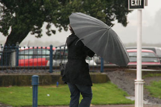
There will be a period of heavy rain for western and northern parts of the country on Friday and Saturday, with strong to gale northwest winds also expected to affect parts of New Zealand.
The winds are expected to bring a warm start to the weekend for some, pushing east coast temperatures into the early twenties.
People are being warned to plan indoor activities for tomorrow.
'The heaviest rain is expected about the Southern Alps, Tararua Range and Mt Taranaki, where over 150mm of rain could accumulate and a Heavy Rain Warning has been issued for these areas,” says MetService meteorologist Peter Little.
On Saturday, wet weather is forecast for much of the North Island as the front moves eastwards, with heavy falls and thunderstorms likely in western areas.
In the Bay of Plenty, showers are developing this afternoon and are expected to get heavier tomorrow.
The MetService is forecasting periods of rain and a strong notherly easing tomorrow.
Showers are expected to ease on Sunday.
'If you live in the north or west of the North Island it would be a good idea to have indoor plans for Saturday as the forecast is for a very wet day.”
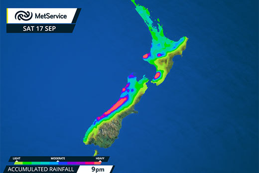
Meanwhile, a weak ridge of high pressure behind the front delivers mostly fine weather to the South Island on Saturday, where the forecast for Saturday evening's All Blacks' Investec Rugby Championship match against South Africa in Christchurch is fine with light winds.
The rain over the North Island eases to isolated showers early Sunday morning, with long fine spells developing in northern and western regions.
Colder southerlies spread up the South Island, and the mostly fine weather there is replaced by scattered showers.
'People in the east of the South Island in particular will notice this cooler change, as the forecast maximum temperature of 22C for Christchurch on Friday gets chopped back to just 12C on Sunday.”

0 comments
Leave a Comment
You must be logged in to make a comment.