


Wind and rain is expected to hit the Bay of Plenty and Coromandel this weekend as an active front slowly crosses the North Island.
There is a moderate confidence of periods of heavy rain expected for the regions.
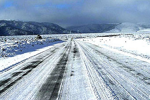
Snow is being forecast for the Desert Road.
A strong, cold southerly flow is expected to spread over the South Island on Sunday, then over the North Island on Monday.
Snow showers are likely to affect the far south (southern Fiordland, Southland, Clutha, central Otago and Dunedin) and Banks Peninsula to near sea level on Sunday, then to 2 to 300 metres about the lower North Island on Monday.
A ridge of high pressure moves across the South Island later on Monday, while southerlies over the North Island strengthen into Tuesday.
There is a low confidence of severe south to southeast gales about Bay of Plenty and exposed parts of Coromandel Peninsula on Tuesday. Meanwhile, during this time, severe frosts are likely about inland parts of the South Island.
Meanwhile, people can expect cold temperatures as snow hits the South Island.
MetService meteorologist John Law says the combination of the large amount of moisture feeding across the South Island from the west colliding with cold air in the east creates the potential for heavy snowfalls.
'Current warnings indicate that 20 to 25cm of snow is likely above 200 metres for Otago and similar amounts possible in South Canterbury. At higher elevations, more than one metre of snow may accumulate above 700 metres.” Over the weekend the area of low pressure responsible for this weather will move to the southeast of the country.
As the system pulls away a burst of heavy rain will sweep across the North Island, with fresh snow about Mt Ruapehu and possibly the Desert Road.

0 comments
Leave a Comment
You must be logged in to make a comment.