


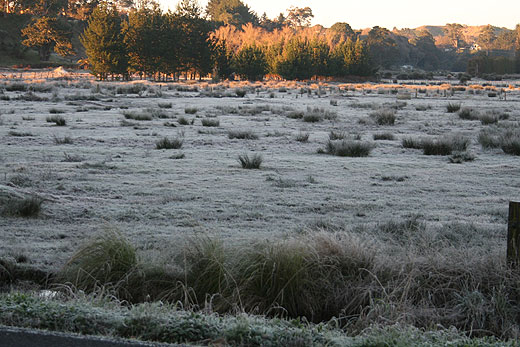
The winter chill is well and truly upon us with frosty temperatures to blanket the Bay of Plenty with temperatures dropping as low as three degrees tonight.
MetService forecasts another week of changeable weather across New Zealand as cold southwesterly winds early in the week are replaced by blustery nor'westers towards the weekend.
An overnight low of three degrees will see frosts in Tauranga tomorrow morning. File photo.
The country currently sits under a strong, cold south-westerly conveyer belt of air, sandwiched between a broad area of high pressure over the Tasman Sea and a deep area of low pressure out to the east.
MetService meteorologist Rebekah LaBar says lengthy fine spells across the Bay are joined by a couple of morning frosts, particularly inland. Last night the thermometer dropped to 4.5 degrees.
As the high pressure builds over the country for today, the swells and winds should continue to ease and, for many, it will be a fine day with plenty of blue sky and sunshine.
The clearing skies and lighter winds coupled with the cold air currently over the county are likely to ring alarm bells for many gardeners and farmers, with widespread frosty conditions set to return in the next few nights.
'It looks like a low of three degrees tonight and a low tomorrow night of six degrees so it's going to be chilly,” says Rebekah.
'I wouldn't go so far as to say it's the coldest we have had but the temperatures are definitely dropping.”
Then the weather deteriorates for the second half of the week with wet and windy weather returning to the country as the next weather system heads towards us from the Tasman Sea.
Rebekah says there is a big low pressure system approaching the south from Thursday couple with a front working its way up the country.
'Some time later in Friday the front will come up bringing winds and rain. There will be increasing winds with the system, northwesterly winds developing on Thursday.”

0 comments
Leave a Comment
You must be logged in to make a comment.