


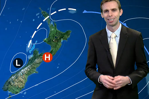
Don't let yesterday's sunshine fool you, there is more rain on the way for the Bay and the Coromandel.
A severe weather watch is in force for localised heavy rain for Great Barrier Island, Coromandel Peninsular and the Western Bay of Plenty today.
MetService meteorologist John Law urges people to keep an eye on the weather as there is some uncertainty about the path of the approaching system.
A front that was expected to be near Great Barrier Island by midnight last night should sink slowly southwards during Saturday, while becoming more active.
'Outbreaks of rain associated with the front could be heavy,” says MetService meteorologist John Law.
'The front may stall somewhere between Great Barrier Island and Rotorua, but there is still considerable uncertainty regarding the location of the heaviest rain.
'Due to the uncertainty of the frontal position, a watch is now in force for Great Barrier Island, the Coromandel Peninsula (especially eastern areas) and the Bay of Plenty west of Rotorua.”
In these regions, there is the potential for rainfall accumulations to exceed short-duration warning criteria (for example 50-70mm in 6-12 hours) in localised areas during Saturday.
Localised downpours, with intensities of 25mm to 35mm per hour are possible, especially near the coast, bringing with it the potential to cause surface flooding and slips.
'People are advised to keep up-to-date with the latest forecasts, including thunderstorm outlooks, as parts of this watch could be upgraded to a warning,” says John.

0 comments
Leave a Comment
You must be logged in to make a comment.