


Bay of Plenty residents are being urged to make the most of the blue skies, with colder, wetter weather set to arrive over the weekend.
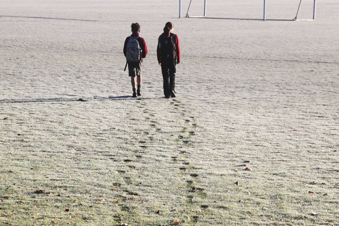
MetService says frosty starts are likely for parts of the North Island on Friday morning before showers develop from the southwest on Friday and Saturday.
The main band of rain is expected to arrive on Sunday as a stronger cold front pushes north.
Meteorologist Samkelo Magwala said in a media release that the country was experiencing a typical spring weather pattern, with fast-moving fronts bringing bursts of rain and cooler conditions.
“We’re in a typical spring pattern, which is why these fronts are moving through quickly, resulting in less rainfall accumulation despite the briefly heavy rain,” Magwala said.
While Bay of Plenty residents can expect largely settled conditions through much of Friday, the outlook becomes more unsettled over the weekend.
Sunday is shaping up as the wettest day, with rain spreading across much of the North Island as the front moves north.
The change follows a run of mainly dry weather and comes as school holidays begin, with MetService advising travellers to keep an eye on forecasts if planning weekend trips.
Before the front arrives, warmer northwesterly winds are expected to bring mild temperatures to eastern parts of the country on Saturday, with highs reaching the upper teens and low 20s.
Elsewhere, heavy snow is possible above 600m in parts of Central Otago, the Southern Lakes and the Canterbury high country on Sunday morning, while gale-force winds could affect parts of the South Island and lower North Island.
The unsettled spell is expected to be short-lived, however, with a high-pressure system in the Tasman Sea forecast to arrive with more settled conditions at the start of next week.

Sunday is looking to be a more active day of weather as a front moves up the South Island. Image / MetService

0 comments
Leave a Comment
You must be logged in to make a comment.