


Bay of Plenty residents are being urged to brace for some of the coldest temperatures of the year, as a sharp southerly blast is set to deliver a wintry start to August before frosty conditions settle across the region.
MetService said the cold outbreak will bring showers and low snow levels to parts of the eastern North Island early this week, with snow expected on higher ground as far north as Gisborne by Wednesday morning.
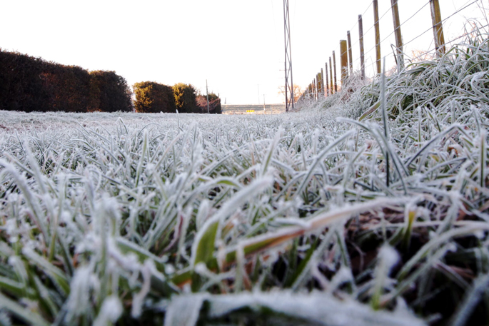
While the Bay of Plenty is unlikely to see snowfall at sea level, the region is expected to feel the full force of the chilly air mass, with clear skies and lighter winds later in the week creating ideal conditions for widespread frosts and near-freezing overnight temperatures.
MetService meteorologist Silvia Martino said that Thursday morning is shaping up as the coldest of the week for many parts of New Zealand.
“Even for our coldest month of the year, these are exceptionally cold overnight temperatures,” she said.
The cold snap follows a weekend dusting of snow on higher elevations around the country and has prompted a series of road snowfall warnings for alpine routes in the South Island and lower North Island.
Conditions are expected to improve from Tuesday as high pressure builds across the country, bringing crisp, sunny winter days. However, those clear skies will also allow temperatures to plunge overnight.
The Bay of Plenty can expect sunny but cold conditions through the middle of the week, with motorists advised to take care on frosty roads during early morning travel.
The settled weather is not expected to last. Forecast models show another burst of cloud and rain approaching from the Tasman Sea towards the end of the working week.
Martino encouraged people to make the most of the sunshine while it lasts.
“The sunshine doesn’t last long ... so wrap up warm and get out in the sun while you can.”

1 comment
frosts
Posted on 05-08-2026 14:29 | By terminal
look out jacks about .....
Leave a Comment
You must be logged in to make a comment.