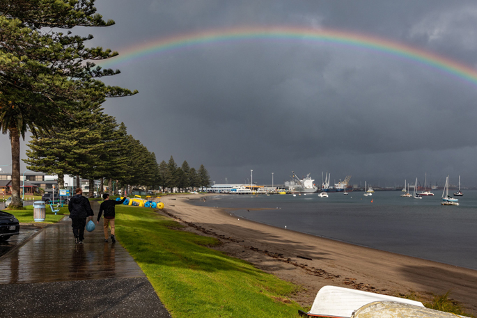
It’s looking like a classic summer set-up for much of the country this week, with largely settled weather for northern and central parts and a swing to hotter-than-average temperatures later in the week.
Friday brings a change, however, with widespread rain arriving to dampen things before the weekend.
Dry days are set to dominate from Northland down to Christchurch, including Bay of Plenty, to start the week.
“With sea-surface temperatures around much of the North Island’s coastline warmer than average, it’s the perfect time to take advantage of the long summer evenings and squeeze in a swim after school or work,” MetService meteorologist Silvia Martino said.
Things aren’t quite so sunny for western and southern parts of the South Island though, with rain sweeping through on Tuesday and lingering into Wednesday for the West Coast.
MetService has issued a heavy rain watch for Tuesday’s rain in Fiordland, with a moderate chance of being upgraded to a warning.
Summer returns mid-week, with sunny skies, hot days and humid nights for much of the country.
Afternoon temperatures in the high twenties are expected on Thursday, and some places in Wairarapa and Canterbury might even crack 30C, 6C or 7C above average for this time of year.
“It could get uncomfortably hot later in the week, with several spots in the lower North Island set to approach or exceed their heat alert thresholds, and overnight temperatures in the high teens not allowing time for recovery,” Martino said.

“Now’s the time to make a plan: think about timing outdoor activities away from the hottest parts of the day, or shifting under cover if you have to be outside, and leave plenty of time for shade and water breaks.”
Rain is forecast to affect most of the country on Friday, including Bay of Plenty, and heavy rain is possible.


0 comments
Leave a Comment
You must be logged in to make a comment.