.jpg)
4pm Update: Police are advising Bay of Plenty motorists to take extra care on the roads this evening.
"There have been a number of calls for assistance to emergency services due to surface flooding and fallen trees," says a Police spokesperson.
Police urge motorists to drive with extreme caution, particularly in areas where there is surface flooding, as there could be hidden hazards.
"If you can delay travel, we would advise you do so until the weather event has passed."
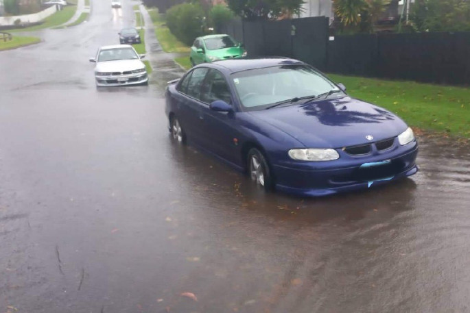
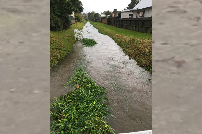
Harrisfield Drive, Ohauiti. Photo: Tracey Potts.
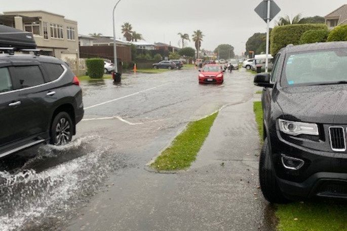
Flooding in Glenlyon Ave, Greerton. Photo: Tracey Came.
.jpg)
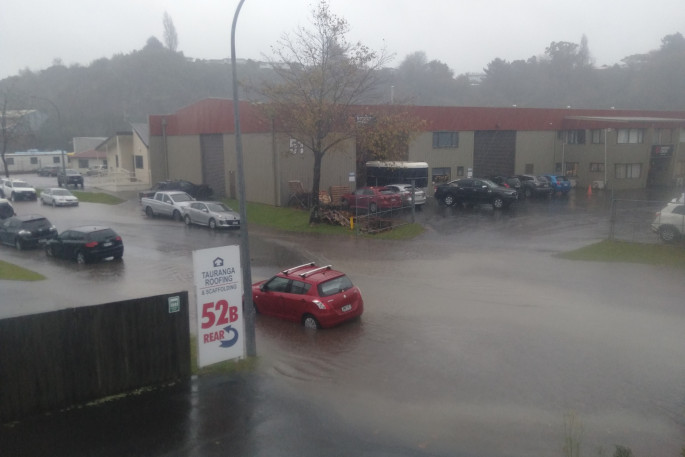
Surface flooding on Aviation Ave, Mount Maunganui. Photo: Supplied.
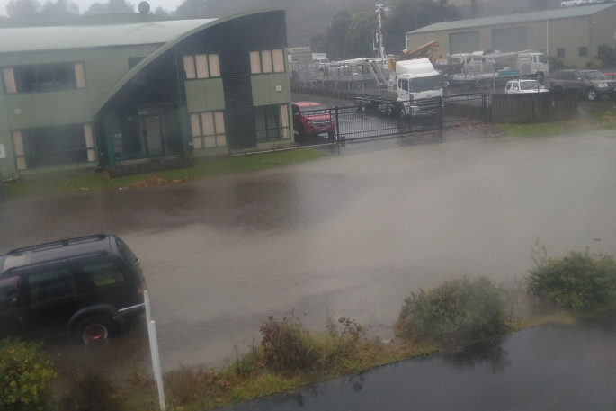
Residents are reporting surface flooding on roads around Tauranga.
There is surface flooding on Aviation Ave, Links Ave, Oceanbeach Road and Matapihi.
MetService has issued a severe thunderstorm watch for Waikato, Bay of Plenty, Rotorua and Taupo for the period from noon until 9pm on Monday May 30.
"Expect 70 to 110mm of rain in addition to what has already fallen, with the largest accumulations likely about the ranges," says a MetService spokesperson.
"Peak rates of 25 to 40mm per hour possible in thunderstorms."
Heavy rain may cause streams and rivers to rise rapidly. Surface flooding and slips are also possible and driving conditions may be hazardous.
Please send any photos of flooding or storm damage to [email protected]
.jpg)
Harrisfield Drive, Ohauiti. Photo: Tracey Potts.
Flooding in Lee Street. Photo: Colin McGonagle.
Flooding in Glenlyon Ave, Greerton. Photo: Tracey Came.
Harrisfield Drive, Ohauiti. Photo: Tracey Potts.

0 comments
Leave a Comment
You must be logged in to make a comment.