People are being warned to prepare for heavy rain and severe gales.
A deep low over the north Tasman Sea is expected to move onto Northland this afternoon and evening, and southeastwards across the upper North Island during Tuesday, then away from the country on Wednesday.
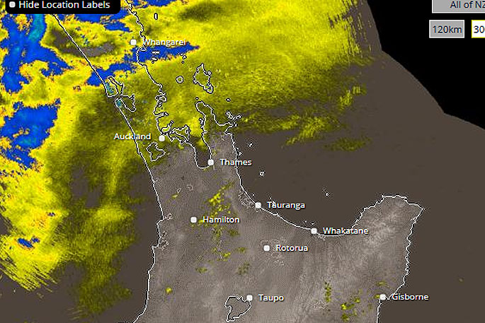
'Heavy rain and strong east to southeast winds associated with this low should affect many parts of the North Island from Monday to early Wednesday,” says the MetService.
'The heaviest rain is expected in Northland, Coromandel Peninsula and northern Gisborne where a Heavy Rain Warning (Orange) is in force.
'Heavy rain is also expected to affect other parts of the North Island, and heavy rain watches are in force from northeast parts of Auckland, Western Bay of Plenty, the remainder of Gisborne not in the Warning area and the ranges of Hawke's Bay.”
In addition, the strongest winds are expected in Auckland, Great Barrier Island, Coromandel Peninsula, Waikato and western Bay of Plenty, where strong wind warnings (Orange) remains in force.
'Strong winds are also expected in Northland, from southern Waikato to Manawatu, and remainder of Bay of Plenty not in the warning, and strong wind watches are in force for these areas.
'People are advised to keep up to date with the latest Warnings and Watches in case any changes are made, or further areas are added.”
===========================
HEAVY RAIN WARNING - ORANGE
===========================
Area: Northland
Valid: 17 hours from 1pm Monday to 6am Tuesday
Forecast: Periods of heavy rain. Expect 80 to 100mm to accumulate in the east and 50 to 80mm elsewhere. Peak intensities 15 to 25mm per hour, with thunderstorms possible.
Change note: Upgraded to a warning.
Area: Coromandel Peninsula
Valid: 29 hours from 6pm Monday to 11pm Tuesday
Forecast: Expect 100 to 140mm of rain about the ranges, with 70 to 90mm nearer the east coast. Peak rates of 15 to 25mm per hour, especially about the ranges.
Please note, rain is expected to ease for a time Tuesday morning and afternoon.
Area: Gisborne from Tokomaru Bay northwards
Valid: 26 hours from 4am Tuesday to 6am Wednesday
Forecast: Periods of heavy rain. Expect 110 to 130 mm of rain to accumulate during this time. Peak rates of 10 to 20 mm per hour.
============================
STRONG WIND WARNING - ORANGE
============================
Strong wind gusts could damage trees, powerlines and unsecured structures.
Driving may be hazardous, especially for high-sided vehicles and motorcycles.
Area: Auckland, Great Barrier Island, and Coromandel Peninsula
Valid: 12 hours from 4pm Monday to 4am Tuesday
Forecast: East to southeast winds are expected to rise to severe gale gusting 120 km/h in exposed places during this time.
Area: Waikato from Cambridge northwards (especially near the Kaimai Ranges) and Bay of Plenty west of Matata
Valid: 11 hours from 8pm Monday to 7am Tuesday
Forecast: East to southeast winds are expected to rise to severe gale gusting 120 km/h in exposed places during this time.

0 comments
Leave a Comment
You must be logged in to make a comment.