


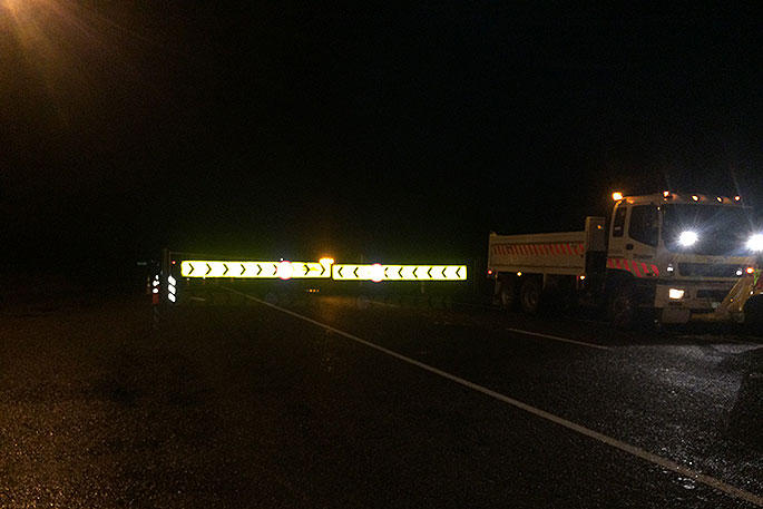
The Desert Road and Lewis Pass are among highways closed by snow and ice as a chilly blast makes its way up the country.
Snow was forecast down to 500 metres in the North Island and to 100m in the deep south. MetService says snow could be possible down to 400m in Christchurch, meaning the city's Port Hills could get a dusting.
6:00AM TUE 26 JUNE UPDATE
— NZTA Central Nth Is (@NZTACNI) June 25, 2018
SH1 Rangipo to Waiouru (Desert Road) remains CLOSED. For a southbound detour, use SH46 and SH47 to National Park, left onto SH4, then left onto SH49 through Ohakune to Waiouru. Reverse for north.
https://t.co/QHzKqXxvtk ^HJ
Snow coats the ground on Arthur's Pass shortly after 6am on Tuesday.
The cold front embedded in a cold southwest flow was expected to reach Wellington by about 9am.
"Wellington should start seeing some increased winds and some good rainfall coming up," says MetService meteorologist Nick Zacher.
From about mid-morning this will move pretty rapidly north from Wellington and across the rest of the North Island.
"The main event, so to speak, will be the band of heavier showers just ahead and just behind that cold front as it moves north. That's going to help initiate another round of snow fall across the Desert Road, and even for parts of the Remutaka Range."
Along with the Desert Road and Lewis Pass, the wintry weather had closed State Highway 87 from Outram to Middlemarch in Otago, SH93 from Clinton to Mataura in Southland, and SH94 from Hollyford to Milford Sound.
Queenstown Lakes District Council said the Crown Range road was closed due to snow.
Caution was being urged on several other routes in Otago, Canterbury, West Coast affected by snow, ice, or black ice.
NZTA network operations manager Tresca Forrester told RNZ by mid-morning updates on closed roads should be coming through from the crews working on them.
"If you are looking to travel, what I would say is just hold out and keep checking our website.
"Conditions can change really easily. The other part of this is even when we open the roads, the roads will be very icy, and there will be a lot of black ice."
MetService is forecasting more snow for the Desert Road during Tuesday, with snow showers expected to become more frequent during the morning. Up to 10cm of snow could accumulate above 700m during Tuesday, with lesser amounts to 500m.
Drivers navigate snowfall on the Leith Saddle of Dunedin's Northern Motorway at 6am Tuesday.
For the Remutaka Hill Road, snow showers are expected near the summit on Tuesday afternoon and evening, down to 400m.
Overnight, snow fell in the alpine passes in the South Island.
Snow could fall as low as 200m from Queenstown south, and down to 500m to 600m in other parts of the South Island.
"A strong southwest flow blankets the country dragging up cold air from off the ice," Metservice Meteorologist Mark Bowe said earlier.
"The cooler temperatures and stronger winds will make wind chill a more significant factor this week."
A Niwa spokesman says gusty wind, with speeds exceeding 100kmh, was to hit exposed and coastal areas of Otago on Monday night and the North Island on Tuesday.
The excessive winds would cause an increased risk of power outages and possible wind chill temperatures of near or below zero degrees celsius, he says.
Black ice closed roads in the Queenstown Lakes region on Monday, and could plague the lower South Island again on Tuesday.
"Wet roads with minimum amounts of sunlight during these winter days and dropping temperatures makes icy roads a primary concern," Bowe says.
"Driving conditions will be hazardous on some of the higher mountain passes, so we advising people to take care."
The strong and gusty southwest flow with several embedded troughs brought showers and heavy thundery falls with hail for western and southern parts of the country, he says.
The cold snap was being felt throughout the country - Auckland was forecast to get to have a high of just 12 degrees Celsius on Tuesday, and an overnight low of 4C, while southwesterlies could gust to 100kmh in exposed places.
By Wednesday, a ridge of high pressure would build over the country, bringing clear skies and light winds which, with pre-existing snowfall on the ground, will bring down the overnight minimum temperatures for most parts of the country.
- Stuff

0 comments
Leave a Comment
You must be logged in to make a comment.