


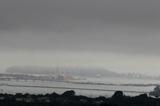
Cloudy with occasional drizzle is the forecast for the Bay of Plenty today as the MetService predicts a muggy and murky start to the week.
Mid-week, active weather systems traverse the country bringing wetter weather to central parts of New Zealand tomorrow.
The Bay of Plenty looks set to have a warm but wet week ahead.
The second half of the week sees showery southwesterlies sweep back across the country.
A band of cloud and rain tracked northwards over the weekend, resulting in a moist and cloudy start in Auckland on Monday.
MetService meteorologist Georgina Griffiths says the fronts have weakened and left high humidity across the North Island.
Today, westerly winds are expected to bring cloudier conditions to the west of the country with some rain or patchy drizzle.
Meanwhile, in the east the weather is set to brighten with a dry ahead.
'The east coast could really see come great December temperatures today,” says meteorologist John Law.
'Spots like Gisborne and Napier could see highs of around 25C, while further south similar temperatures are likely for Christchurch and Dunedin.”
The Tasman Sea is currently a hotbed of activity with developing areas of low pressure moving off the eastern coast of Australia and heading towards New Zealand.
'The middle of the week looks like it could be a wet time for those of us in central and northern parts of New Zealand,” adds John.
'The heaviest rainfall is likely to be for the hills and ranges of Buller, the Tararua Range and Mt Taranaki but even at lower levels it looks like a day for the waterproofs.”
Rain turns to showers on Thursday, although lingering longer across Northland once again, and southwesterly winds spread back across the country.

0 comments
Leave a Comment
You must be logged in to make a comment.