


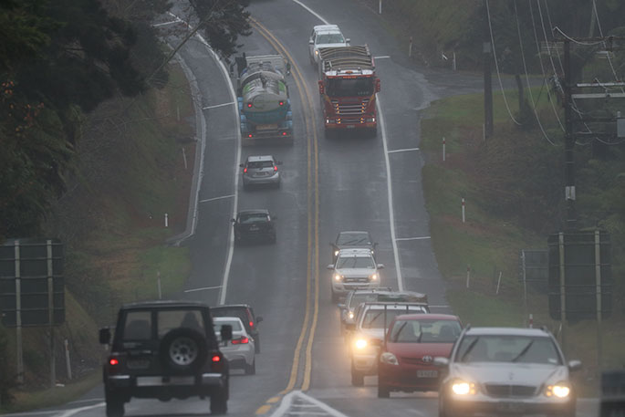
Severe thunderstorms could unleash intense downpours across parts of the upper North Island today, threatening flash floods and slips.
MetService has issued severe thunderstorm watches for Northland, Auckland, Great Barrier Island and Coromandel, warning of hazardous driving conditions and poor visibility in heavy rain.
Northland’s watch began last night and continues to 10pm tonight, while Auckland, Great Barrier Island and Coromandel are under a watch from 3pm until midnight.
Meanwhile, the Bay of Plenty faces a particularly prolonged spell of wet weather, with areas west of Whakatāne under a 33-hour heavy rain watch lasting until 6am tomorrow.
A series of urgent severe thunderstorm warnings were issued overnight for the Bay of Plenty region, with MetService predicting torrential rain as the storms moved south.
Meteorologist Paris Marshall described the weather as a “quite convective situation”, where rising warm, moist air can produce heavy showers and thunderstorms.
While rain is expected to be widespread, the most intense downpours could be concentrated in small areas.
“It’s very hard to predict exactly where they’re going to pop up,” Marshall said.
MetService warned that rainfall intensities of 25 to 40mm an hour could cause surface flooding, flash flooding and slips, particularly near streams, rivers and narrow valleys.
Marshall said the risk of localised downpours had expanded beyond Northland to include Auckland, Coromandel, Waikato, western Bay of Plenty, Taupō and northern Taranaki.
Auckland and Northland were among the areas “most at risk”, she said.
Lightning had also reached Rotorua, Tauranga and Whakatāne yesterday as thunderstorms spread further east.
“Tauranga also got hit with some quite heavy rain,” Marshall said.
She said the Bay of Plenty was in for “quite a gloomy day”, with further localised downpours possible.
Heavy rain watches also cover Taranaki and parts of the central North Island, with MetService indicating a moderate chance of upgrades to warnings.
Meanwhile, muggy conditions are expected to continue tonight, with overnight lows of 16C forecast for Auckland and 18C for Napier.
Marshall said the unsettled weather should begin easing from Wednesday, with temperatures returning to “normal temperatures that you’d expect at this time”.
She advised people in vulnerable areas to clear their gutters and listen to local council advice if conditions deteriorate.
Motorists should reconsider travelling during heavy rain, she said.
“If it’s not looking too good, I would stay home.”

0 comments
Leave a Comment
You must be logged in to make a comment.