


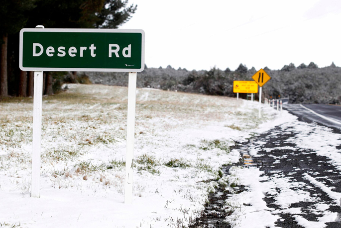
Snow is forecast to create hazardous driving conditions on the Desert Rd overnight, with up to 2cm expected near the summit, prompting MetService to issue a Road Snowfall Warning for State Highway 1.
The warning is in place from 8pm Monday until 3am Tuesday as snow lowers to around 1000m across the central North Island.
Motorists are being urged to check road and weather conditions before travelling and prepare for potential disruptions as an unsettled weather pattern continues across the country this week.
On Wednesday, a shallow low is expected to move across northern New Zealand while a front, preceded by a strong northwest flow and followed by colder southwesterlies, moves on to the South Island.
Another front is forecast to move northeast across the country on Thursday, bringing strong northwesterly winds ahead of it and colder southerly winds in its wake.
While MetService said there was minimal risk of severe weather through Wednesday and Thursday, stronger conditions are possible later in the week.
By Friday and Saturday, a strong, cool and showery southwest flow is expected to cover much of New Zealand. MetService said there was moderate confidence that severe gale west to southwest winds could affect coastal parts of Southland, Stewart Island, Clutha and Dunedin.
There is also a lower chance that severe gales could reach parts of the Tasman District west of Nelson City on Saturday.
Drivers travelling through the central North Island overnight are urged to keep up to date with forecasts and road conditions before heading out.

0 comments
Leave a Comment
You must be logged in to make a comment.