


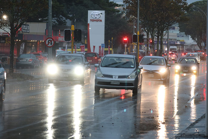
A heavy orange rain warning in force for the Bay of Plenty has been moved forward.
A warning had been issued yesterday for 3pm today, but in its latest weather update, the MetService said the warning was now in place from 10am with 70 to 100 mm of rain expected to fall until 2am tomorrow.
The warning is in place west of Kawerau with thunderstorms possible from the evening.
A yellow heavy rain watch is also in place east of Kawerau from 3pm today until 5am tomorrow.
MetService meteorologist Paris Marshall said yesterday a low-pressure system from the Tasman Sea was bringing rain, strong northeasterly winds and potential thunderstorms today.
Marshall said today was looking to be “quite humid”, with warmer minimum temperatures.
“For example, in Whakatāne, their minimum temperatures will be 13C, which is quite different as they’ve been getting frost recently; you need to have around three degrees air temperature to even start seeing frost."
Showers with some heavy falls are forecast for Bay of Plenty on tomorrow and Friday before fine weather returns for the weekend.
Wet roads warning for Bay of Plenty drivers
Drivers are being asked to slow down and drive to the conditions as heavy rain impacts parts of the North Island, including the Bay of Plenty west of Kawerau and the Coromandel Peninsula.
The warning comes as wet weather increases the risk of hazards such as localised flooding, slips, rockfalls and slippery roads.
The New Zealand Transport Agency Waka Kotahi is urging motorists to allow extra time for journeys and adjust their driving behaviour accordingly, including increasing following distances, reducing speed and avoiding sudden braking.
Drivers are also advised to use headlights when visibility is poor.
NZTA said contractors are monitoring the transport network and are ready to respond to any issues caused by the weather.

0 comments
Leave a Comment
You must be logged in to make a comment.