


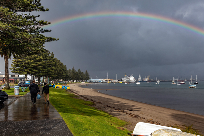
A significant low-pressure system is set to bring heavy rain and strong winds across much of the country this week, with the Bay of Plenty – including Rotorua – in the firing line from midweek.
In its latest weather update, the MetService said a low and associated fronts will move east on to central and upper New Zealand from Wednesday, bringing widespread rain and strong winds to many regions.
There is moderate confidence that warning-level rainfall will affect the Bay of Plenty, including Rotorua, with conditions expected to deteriorate throughout the day.
The MetService said the system is forecast to intensify on Thursday, as a deep low moves slowly across the North Island, spreading heavy rain and strong winds across both the North Island and the upper South Island.
However, the weather organisation said there is low confidence that the heaviest rain will reach the far eastern Bay of Plenty and Gisborne.
Strong winds are also a concern, with the potential for severe gales in some areas, although confidence remains low at this stage.
By Friday, the deep low is expected to sit just east of central New Zealand, maintaining unsettled conditions across many regions.
There is moderate confidence that severe southerly gales could impact parts of the lower North Island, while the risk of heavy rain extends across parts of the eastern North Island, though confidence levels remain low.
MetService said snow is also expected to affect higher inland areas of Canterbury and Marlborough during the event, which could impact alpine roads.
Conditions are forecast to gradually improve from Saturday, June 27, as the low moves away to the east and winds and rain ease, with minimal risk of further severe weather.
Residents in exposed and low-lying areas are being urged to stay up to date with forecasts and be prepared for rapidly changing conditions later this week.

0 comments
Leave a Comment
You must be logged in to make a comment.