


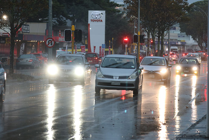
Heavy rain is set to lash parts of the North Island, with MetService issuing an orange heavy rain warning for eastern Bay of Plenty from Friday evening.
The warning covers areas east of Whakatāne from 5pm on Friday through to 5am on Saturday.
In its latest weather update, MetService said the area could expect 70 to 90mm of rain, with peak intensities of 20 to 30mm per hour about the ranges. Thunderstorms were also possible.
While there’s only a minimal chance the warning would be upgraded to red, MetService said the deluge could still cause disruption. Streams and rivers may rise rapidly, with surface flooding, slips and hazardous driving conditions likely.
Residents were being urged to clear drains and gutters before the weather and to avoid low-lying areas where possible.
Further west, a heavy rain watch has been issued for Bay of Plenty areas from Whakatāne westwards, including Rotorua and Taupō.
This is in place from 2pm to 11pm on Friday, with periods of heavy rain expected and a moderate chance of the watch being upgraded to a warning.
Elsewhere, Taranaki north of Eltham is also under an orange heavy rain warning, with 90 to 120mm of rain forecast, rising to as much as 150 to 200mm about Taranaki maunga.
Heavy bursts and squally thunderstorms are expected on Friday afternoon, with downpours likely to continue even after the warning period ends.
Heavy rain watches are also in place for Waitomo, Taumarunui and Tongariro National Park, as well as Horowhenua, Kāpiti Coast, Wellington and the Tararua Range.
MetService advises people across affected regions to stay alert to rapidly changing conditions and to take care when travelling.

2 comments
wether
Posted on 04-06-2026 19:17 | By terminal
yer i bet it doesnt..........
@ terminal
Posted on 05-06-2026 08:32 | By Yadick
I hear you, but better to err on the side of caution.
Leave a Comment
You must be logged in to make a comment.