Northland and Auckland could be in the firing line as a developing weather system moves towards New Zealand this week.
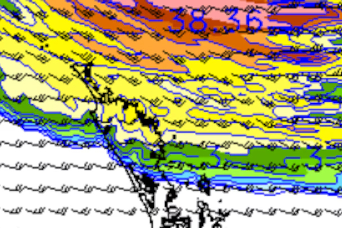
MetService meteorologist Katie Lyons told the Herald a tropical low could move towards the country, but that it was too early to know its path and strength.
“From what we see at the moment on Tuesday into Wednesday, it does look like this low moves down and either brushes the top of the North Island or just kind of gets down a bit more to Auckland and Bay of Plenty as well,” she said.
She said MetService could be a bit more certain for where this low could impact the country, which would be late tomorrow through Thursday.
“It’s a bit too early and a bit too unclear for us to be confident to put out any watches, so we’re just keeping an eye on it at the moment.”
MetService said the system is expected to sit north of the North Island if it develops as forecast.
South Island temperatures are forecast to tumble today, with Blenheim reaching a high of 17C, down from 29C yesterday.
Christchurch’s high is forecast to tumble from 28C to 15C while Ashburton will only reach 14C.
Further south, both Dunedin and Queenstown will reach a high of 14C.
Meanwhile, in the North Island, Kaitāia is forecast to reach a high of 24 and a low of 15C today and a high of 23C and a low of 17C tomorrow.
Whangārei will reach a high of 23C and fall to a low of 15C today and a high of 22C and a low of 17C tomorrow.
Auckland will see a high of 24C and a low of 15C both today and tomorrow, while Hamilton will reach a high of 24C today before rising to 25C tomorrow.

0 comments
Leave a Comment
You must be logged in to make a comment.