As the final week of 2025 unfolds, MetService forecasts a mix of rain, wind, thunderstorms, and cooler temperatures for many places.
But while there would be plenty to keep an eye on, there were also likely to be welcome breaks for some parts of the country, helping outdoor celebrations remain on the cards.
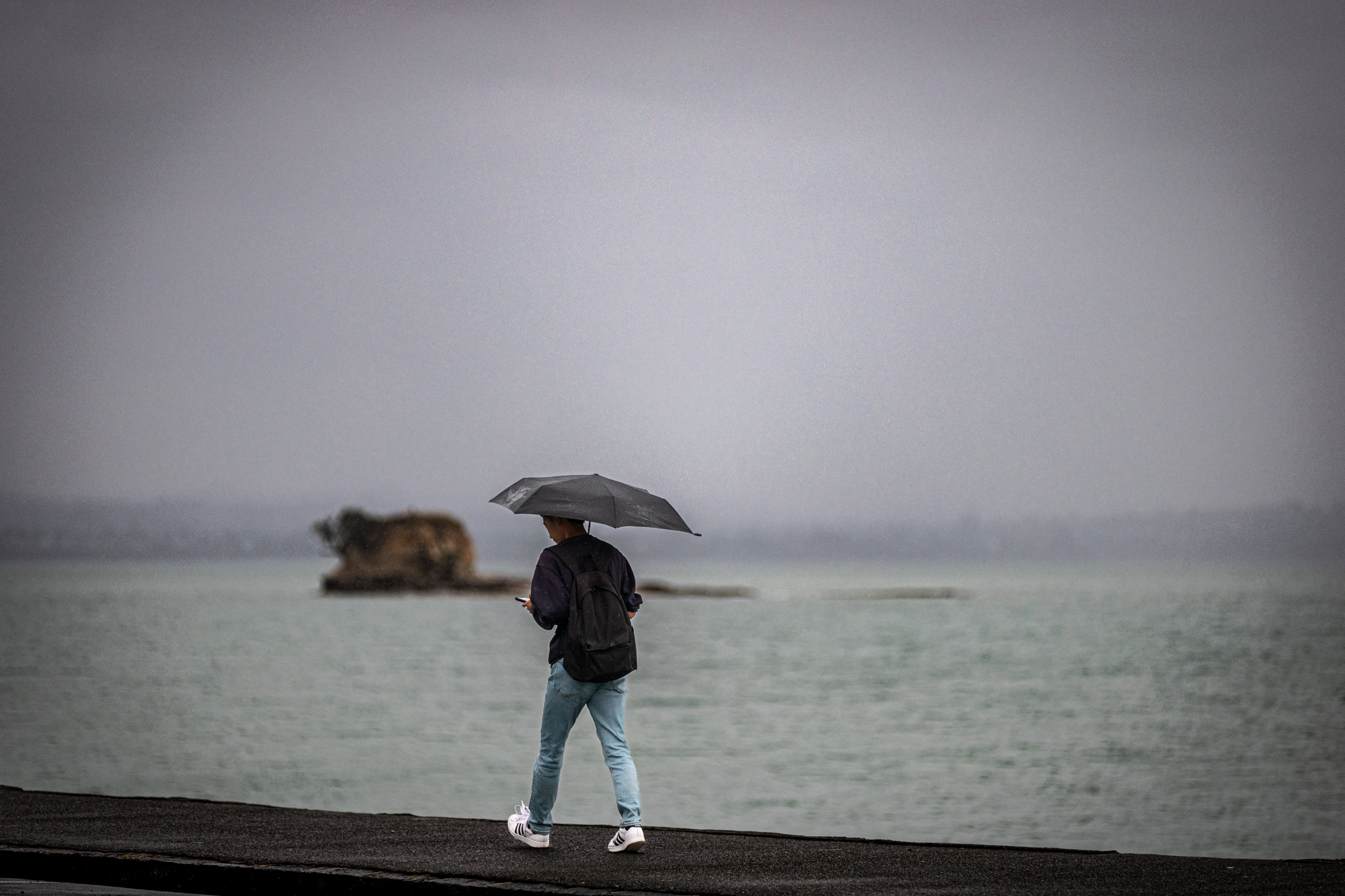
It’s soggy camping as rain was currently falling over the top half of the North Island, associated with a rainband sinking southward today.
The most intense and persistent of the rain was focused on eastern areas, with Coromandel, Bay of Plenty, Gisborne/Tairāwhiti, and Hawke’s Bay all under Orange Heavy Rain Warnings today, continuing into the early hours of tomorrow for Gisborne/Tairāwhitiand Hawke’s Bay.
The longevity and persistence of the rain mixed with some heavy falls meant some areas may see large rainfall accumulations.
“Early in the event, ranges in the Coromandel region already seeing more than 40mmof rain, with 20mm toward the towns,” meteorologist Katie Lyons said.
“It’s unfortunate weather to hit such popular camping spots and the festival goers in the Gisborne/Tairāwhitiregion.”
This rainband would sink further south, so conditions do ease toward New Years.
The rainband would affect eastern areas of the South Island from Tuesday until the end of the year.
As if a soggy tent wasn’t bad enough, a loud rustling one is also on the cards for many as gale southeasterlies spread over the North Island, and northwest of the South Island.
The Coromandel, Waikato down to Taranaki and Taihape, as well as Manawatu south to Kapiti already under an Orange Strong Wind Warning today, ending tomorrow further south.
Those southeasterlies were set to accelerate up and over the ranges, bringing big gusts to exposed places.
Many other areas around the North Island are under Strong Wind Watches as well, including Auckland and Wellington.
“Winds are expected to be strongest in exposed areas, such as hill tops,” Lyons said.
“However, it’s a different direction than we are used to, so those that usually feel sheltered might catch the strong winds today. High sided vehicles, for example campervans, should be extra mindful.”
Looking ahead, while the main action was today and tomorrow, that doesn’t mean it’s fine and sunny weather to end the year. Showers would continue to affect the country as were mainly under the influence of a low pressure system to the west.
For now, the driest place for New Years Eve seems to be the far south of the country, and the rainiest being western central New Zealand.
However, the beauty of showers was that they might give a few gaps to celebrate the years end outside, Lyons said.
“Definitely a time to have a plan B for your New Year’s festivities and keep a keen eye on the forecast and radar.”
Temperatures have been cooler across the country, but it is especially cool in the east of the South Island, with maximum temperatures of 15°C for Blenheim and Christchurch tomorrow.
With so much action this week, more settled weather should be on the cards for the start of 2026.

0 comments
Leave a Comment
You must be logged in to make a comment.