A strong wind watch is in force for the Bay of Plenty tonight.
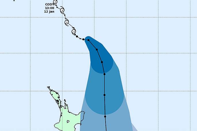
The MetService says Cyclone Cody, currently over waters to the northeast of New Zealand, is expected to move southwards and pass east of East Cape during Monday, before moving southwards towards the Chatham Islands on Tuesday.
"This cyclone will be accompanied by a tropical airmass, which may bring brief heavy rain to the northeast of the North Island on Monday, along with gale force south to southeast winds," says a statement from the weather organisation.
"Hazardous conditions are expected about exposed eastern coastlines of the North Island, where large easterly swells, significant sea surges/rips and coastal inundation are possible.
"The latest tracks for the cyclone indicate heavy rain and severe gales are most likely offshore Gisborne, however this watch will be maintained in case the cyclone tracks closer to the coast,and people are advised to stay up to date with the latest forecasts."
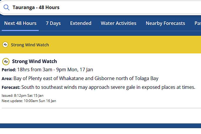 Image: MetService.
HEAVY RAIN WATCH
Area: Gisborne and the Wairoa District Valid: 18 hours from 3am to 9pm Monday Forecast: Periods of heavy rain, and rainfall amounts may approach warning criteria.
STRONG WIND WATCH
Area: Bay of Plenty east of Whakatane and Gisborne north of Tolaga Bay Valid: 18 hours from 3am to 9pm Monday Forecast: South to southeast winds may approach severe gale in exposed places at times.

0 comments
Leave a Comment
You must be logged in to make a comment.