


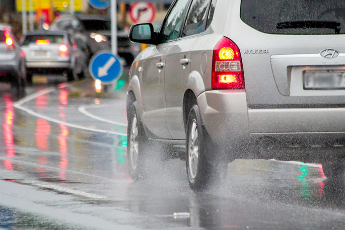
A cold front slowing down about central parts of the country today, may bring some heavy rain to the lower North Island, says WeatherWatch.co.nz
For the likes of Auckland and Waikato, even Bay of Plenty to an extent, any shower activity is not likely till later today or overnight.
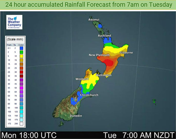 Forecast rainfall accumulation for Tuesday. Images: WeatherWatch.co.nz
"It's looking dry for the South Island on Wednesday, expect some rain for the North Island south of about Waikato and north of Palmerston North.
"Rain will ease to showers from afternoon for most. The blue coloured areas below only represent the risk of a shower."
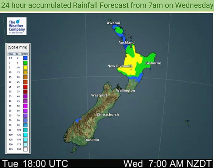 Forecast rainfall accumulation for Wednesday.
Northland sees the risk of a few isolated showers about inland areas late afternoon/evening, says the weather organisation.
"Moving into Thursday, the airflow starts to tilt to the north over New Zealand as high pressure centre moves out to the east. Dry for the South Island however from afternoon some rain or showers moves into the West Coast.
"Taranaki across to Bay Of Plenty sees the odd shower during the day, Waikato through to Northland sees the odd shower also, however, in the morning expect large dry areas. A few showers creep southwards into Manawatu late afternoon/evening also.
"Expect dry weather for the eastern North Island."

0 comments
Leave a Comment
You must be logged in to make a comment.