
Saturating downpours slid down Northland and Auckland overnight and are not lashing the Bay of Plenty and Coromandel areas.
Things are expected to get particularly nasty as the front continues to move across the region this afternoon.
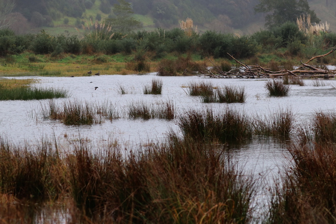
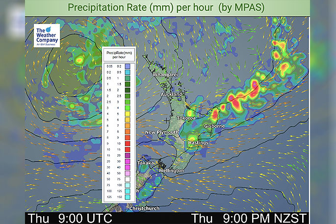 Image: WeatherWatch.co.nz
"Across Thursday this rain will slide further around Bay of Plenty, East Cape and Gisborne with heavy falls and maybe an isolated thunderstorm or two, which tends to add heavier falls into the mix," says WeatherWatch.co.nz
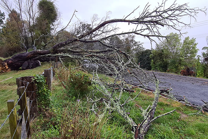
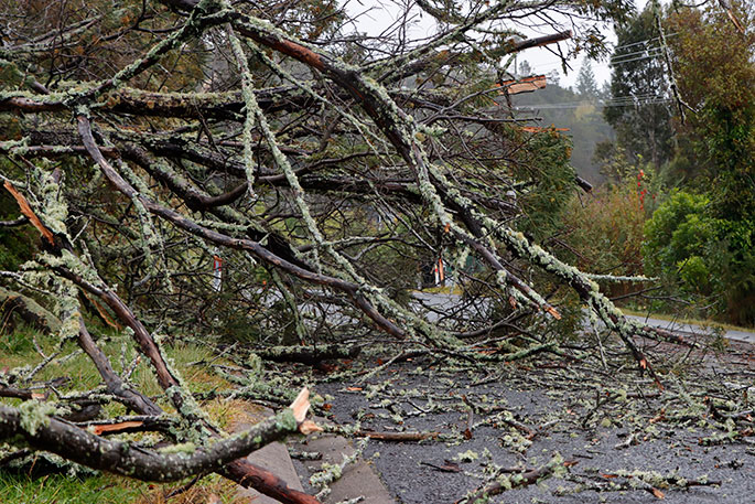
SunLive has received numerous reports of trees blocking roads and flooding forcing the closure of roads in the Coromandel.
The MetService says a front is moving slowly southwards over Coromandel Peninsula and western Bay of Plenty this morning.
"There is a moderate risk of thunderstorms associated with this front, some of these may be severe bringing localised downpours of 25 to 40mm per hour."
A severe weather watch for thunderstorms and strong winds is in place, along with a severe weather warning for heavy rain.
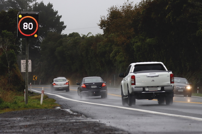
Below is just some of the photos that we have received of today's weather so far.

Send us your photos. Email newsroom@thesun.co.nz

1 comment
Dead trees
Posted on 25-06-2020 19:43 | By SonnyJim
Do landowners ever get charged when their dead trees topple onto the road ? I am puzzled.
Leave a Comment
You must be logged in to make a comment.