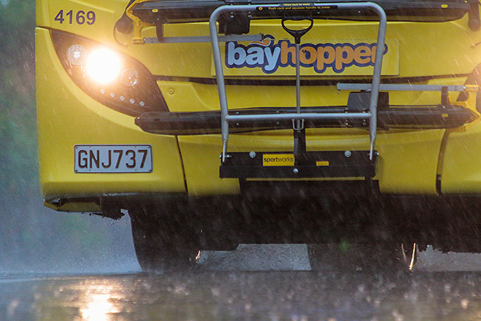
Heavy rain is expected to last the Bay of Plenty for the next few days.
The MetService has issued a severe weather warning for heavy rain from today until Saturday morning.
"A complex trough over central New Zealand is moving eastwards, bringing rain to many parts of central and northern New Zealand, and followed by cold south to southeast winds.
"Warnings and Watches are in force for many areas.
"Snow is also expected to affect higher parts of the South Island, and Road Snow Warnings are in force.
"People are advised to stay up to date with the latest forecasts in case any changes are made or further areas are added."
Heavy Rain Warning
Heavy rain may cause streams and rivers to rise rapidly. Surface flooding and slips are also possible and driving conditions may be hazardous.
Area: Bay Of Plenty mainly east of Whakatane, Rotorua, and the ranges of Gisborne
Valid: 31 hours from 6pm Thursday to 1am Saturday
Forecast: Expect 130 to 180 mm of rain. Peak rates of 15 to 25 mm/h.
Changes: Upgraded to Orange Warning
Area: Mount Taranaki
Valid: 6 hours from 9am to 3pm Thursday
Forecast: Periods of heavy rain. Expect a further 60 to 90mm of rain to accumulate. Peak rates of 15 to 25mm/h.
Area: Wellington and the Tararua Range
Valid: 8 hours from 9am to 5pm Thursday
Forecast: Periods of heavy rain. Expect a further 40 to 70mm of rain to accumulate. Peak intensities 10 to 15mm per hour.
Changes: Tararua Range upgraded to a warning
Area: Coastal Marlborough and North Canterbury north of Waipara
Valid: 19 hours from 4pm Thursday to 11am Friday
Forecast: Expect 100 to 150mm of rain. Peak rates of 15 to 25mm/h.
Changes: Upgraded to a Warning, and area extended southwards.
Heavy Rain Watch
Area: Taupo, mainly about the ranges, including the Kaweka Range
Valid: 18 hours from 3pm Thursday to 9am Friday
Forecast: Periods of heavy rain. Accumulations could approach warning amounts.
Area: Taranaki north of the mountain
Valid: 6 hours from 9am to 3pm Thursday
Forecast: Periods of heavy rain. Rainfall amounts may approach warning criteria.
Area: Kapiti Coast and Horowhenua
Valid: 9 hours from 9am to 6pm Thursday
Forecast: Periods of heavy rain. Rainfall amounts may approach warning criteria.
Area: The Marlborough Sounds including Rai Valley
Valid: 3 hours from 9am to 12pm Thursday
Forecast: Periods of heavy rain. Rainfall amounts may approach warning criteria.
Strong Wind Watch
Area: Southern parts of Buller, and Westland north of Hokitika
Valid: 20 hours from 2pm Thursday to 10am Friday
Forecast: Southeast winds may approach severe gale in exposed places.
Area: Coastal Marlborough from Ward northwards
Valid: 14 hours from 11am Thursday to 1am Friday
Forecast: South to southeasterly winds may approach severe gale in exposed places.

0 comments
Leave a Comment
You must be logged in to make a comment.