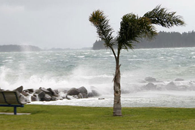
Heavy rain and squally northwest winds are being forecast for parts of the central and northern New Zealand.
A broad trough continues to move eastwards across central New Zealand, says the MetService.
'On its northern flank, a moist northwest flow continues to bring rain and squally thunderstorms to many central and northern areas, and warnings and watches remains in place.
'People are advised to keep up to date with the latest forecasts in case any updates are made to the watches or warnings, or further areas are added.”
Heavy Rain Watch
Area: Waikato, Waitomo, Taumarunui, Taupo, Taranaki
Valid: 26 hours from 9pm Sunday to 11pm Monday
Forecast: Periods of heavy rain until early Monday morning, with thunderstorms. Periods of heavy rain is expected to return from Monday afternoon through to Monday evening and thunderstorms are possible. Rainfall accumulations may approach Warning criteria, especially about higher grounds.
Area: The ranges Bay Of Plenty east of Whakatane
Valid: 30 hours from 9pm Sunday to 3am Tuesday
Forecast: Periods of heavy rain until early Monday morning, with thunderstorms. Periods of heavy rain are expected to return Monday evening through to early morning Tuesday, and thunderstorms are also possible. Rainfall accumulations may approach Warning criteria.
Strong Wind Watch
Area: Bay of Plenty and the ranges of Gisborne
Valid: 4 hours from 9pm Sunday to 1am Monday
Forecast: Squally northwest winds may approach severe gale at times.

0 comments
Leave a Comment
You must be logged in to make a comment.