Frosty weather and below average overnight lows are about to be replaced by double-digital warm nights thanks to an incoming sub-tropical flow.
It's all due to one very large high which, at the moment, is still out nearer to Australia than NZ but has already started to settle our weather down, says WeatherWatch.co.nz
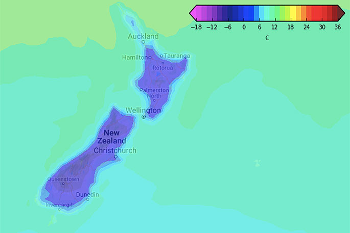
"The calmness of this high, coupled with the gentle southerly flow in most regions (easterly in Northland and parts of Auckland) means daytime temperatures are around normal or even above normal while nights this week are normal to below normal.
"The centre of this large high won't reach NZ until this weekend - then it sloooowly crosses the country and lies east of us by around Tuesday next week. It's this process that will see the southerly winds fade away and be replaced by warmer sub-tropical winds."
Overnight lows are about to really jump. For example, the Waikato plains have lows this week of around zero degrees but by Sunday night it's seven degrees and by Monday night 11 degrees. Daytime highs in Waikato go from around 14 this week to 17 next week.
In the South Island, as another example, Christchurch has lows around freezing this week (perhaps just above). By Sunday night the overnight low is seven.
"The further south you go the least noticeable the 'warming up' is - however even Queenstown will see a slight shift by Sunday and Monday. For example tonight in Queenstown the low is -2 while the high is +4 on Wednesday. On Sunday the low is +3 and the high is +8.
"So to recap - this week has cold nights, this weekend sees a slight warming up and by early next week most regions will be a few degrees milder with some in the north over 10 degrees warmer by night."

0 comments
Leave a Comment
You must be logged in to make a comment.