The start of 2018 saw the tail end of cyclones rolling over the county and ended with an unusual El Nino and one lightning storm after another.
So what's in store for 2019?
It might not have seemed like it during the floods and the spring cold snaps, but 2018 was warm, and climate scientists are picking 2018 will end up somewhere in the top five hottest recorded in New Zealand.*
Though January storms battered the North and South islands, between the floods, Invercargill had its hottest recorded day and January ended up as the hottest month since records began in 1909.
This summer might not be a record breaker, though, as a weak El Nino brings unsettled weather.
We're unlikely to get weeks on end of hot, dry weather, NIWA principal scientist Chris Brandolino says, but there'll be periods of settled warm weather between blocks of cooler temperatures.
"This summer, variability is going to be the theme."
This season the Pacific Ocean is signalling El Nino weather but the atmosphere is not, which makes it a "messy" driving force of the climate, he says, compared to when the two work in tandem.
Temperatures are about or above average and rainfall is forecast to be around normal - other than a bit drier in the Upper North Island and wetter in the West Coast of the South Island.
Cyclones
New Zealand usually gets one tropical cyclone passing close by each year - but in early 2018 was hit by three tropical storms - Fehi, Gita and Hola.
This cyclone season, which runs to April should be nearer the usual pattern, Niwa is predicting.
Conditions might be right in the first half of January for a tropical cyclone to form, due to increased atmospheric activity in this part of the world, but that's far from certain.
Further out, there's a higher than usual chance El Nino will continue through to winter, which can bring more southerlies, but with this year's odd pattern other impacts are hard to predict.
Extreme weather
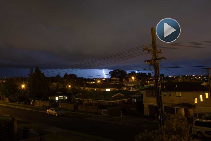
Amid the pummelling the weather gave parts of New Zealand in 2018 were destructive tornadoes and huge thunderstorms.
The North Island was pelted by 27,000 lighting strikes in one single storm in December, not long after four people were injured in a lightning strike at a Hamilton school.
Climate scientist James Renwick wouldn't be surprised to see another year of extremes as global temperatures rise.
"If I had to bet on it I would say we would see some quite significant extremes again in 2019," Prof Renwick says.
"I wouldn't be surprised if there was thunderstorms and windstorms and all the rest of it."
New Zealand is close to 1C warmer than a century ago. As the atmosphere warms it holds more water vapour, leading to heavier rainfall, Prof Renwick says. Along with rainfall extremes, more moisture in the air can lead to heavier or more unseasonal snowfalls.
But with underlying temperatures getting warmer, heat waves are also more likely.
Globally, 2018 was on track to be the fourth warmest on record.
"We are starting to see a lot more extreme weather and extreme effects, like the big fires that occurred in California this year and drought in Australia," says Prof Renwick.
"We do see the very strong background warming trend from the increase in greenhouse gases."
CO2 emissions set a record in 2017 and were to rise further in 2018.
"So you would have to assume temperatures around the world are going to keep going up, and it could well be that 2019 will be warmer than this year has been."
![]()

0 comments
Leave a Comment
You must be logged in to make a comment.