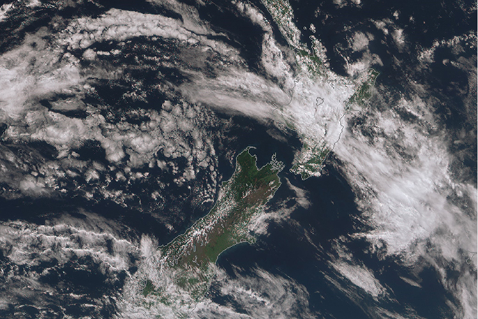
'Though the past week has seen several fronts moving over the country there has been plenty of fine weather in-between allowing for ample time for those on school break to get outside and enjoy the warming temperatures,” says MetService Meteorologist April Clark.
'Christchurch hit a balmy 22C on Thursday, the highest temperature recorded there since April.”
With daylight hours lengthening and solar radiation increasing as we head into the later part of Spring, maximum temperatures over many parts of the country broke into the low twenties this week.
Though winds repeatedly tipped from north to south with fronts that brought some rain and cloud to both the east and west of the country, long dry spells in-between each front meant the longer evenings with daylight savings could start to be exploited.
'The start of next week is looking to hold onto the trend of generally fine weather with a front currently over the upper North Island set to weaken then move off to the east on Monday,” says April.
'Make the most of the settled start to next week,” April warned, 'Because as we head into Wednesday an active weather system is forecast to move over the South Island and then the North Island later in the week.”
'The system is likely to bring stronger winds and a good dose of heavy rain to several regions, even snow to 400 or 500 metres is possible in the south.”

0 comments
Leave a Comment
You must be logged in to make a comment.