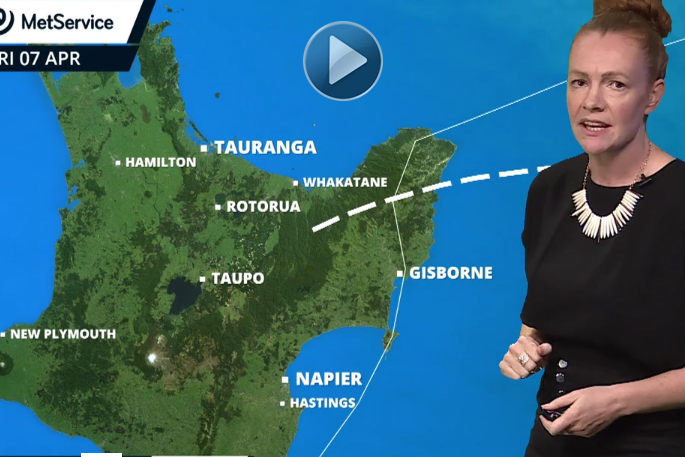
What a difference a day makes.
While blue skies have greeted most parts of the Bay of Plenty today, it was a completely different scenario when ex-cyclone Debbie rolled into town and smashed the region on Wednesday.
Looking out the window, today's weather is a far cry from the absolutely abysmal conditions yesterday which caused slips, flooding, sewage overflows, road closures and more.
But the hangover from ex-Cyclone Debbie's deluge is still being felt today, with 17 schools and two ECEs across the region closed due to flooding, while a state of emergency was declared in the Whakatane District after rivers burst their floodbanks this morning.
MetService forecaster Cameron Coutts says on Wednesday between 70mm to 310mm of rain fell at various locations across the Bay, with Tauranga, Rotorua and Whakatane all experiencing a month's rain or more in one day.
'We have a station up in the Kaimai Ranges and it recorded 225mm of rainfall, Rotorua Airport recorded 195mm and it was the same at our station in Whakatane, while 163mm of rain fell in Tauranga on Wednesday.
'There were also some big hourly totals too, quite a few of our stations recorded more than 20mm of rain, while a couple of the regional stations experienced 30mm in an hour at various times.
'So there was some pretty intense rainfall scattered across the period.”
The largest hourly rainfall in Tauranga occurred between 1-2am (9.2mm), from 5-6pm in Whakatane (21.4mm), and between 9-10am in Rotorua (14.4mm) on Wednesday.
And when compared to the weather bomb which struck the region last month, more rain fell on Wednesday (105.6mm average) than on March 8 (73.6mm average), according to data published on MetService's website.
'The data shows you this latest weather event was pretty nasty, but a lot of these falls were pretty localised. Some spots would have had more rains, some a lot less.”

0 comments
Leave a Comment
You must be logged in to make a comment.