


The Bay of Plenty and the east coast of the country is looking like the pick of the bunch this week, with warm temperatures and the best of the weather.
MetService forecasts most places will see some sunshine in the coming days, with temperatures also on an upward trend after last week's relatively cooler southerlies following Cyclone Pam.
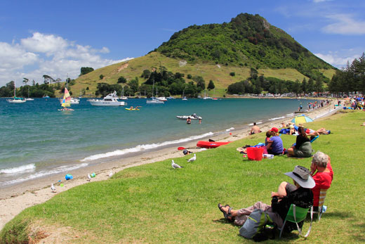
Warmer temperatures are expected to dominate the Bay of Plenty's weather this week. Photo: File.
However, a few spots of rain are expected for many areas over the coming days.
'Tomorrow looks to be a warmer day, with temperatures returning to the mid-to-low 20s as the flow changes to the northwest,” says MetService meteorologist Emma Blades.
Tauranga is predicted to see a few showers tomorrow before the sun returns on Wednesday with highs of 23 degrees. The occasional shower is expected on both Thursday and Friday.
Down the coast, Whakatane is much the same, with highs of 22 throughout the week before climbing to 24 degrees on Friday.
Across the rest of the North Island, sunny periods may be interrupted by isolated showers over the next couple of days, especially over the northern half of the Island.
But the rain over Taranaki today, caused by a low out to the west, should clear by tomorrow.
However, rain will start to spread slowly up the North Island on Thursday, with scattered showers in Gisborne and Hawke's Bay as a weakening trough moves north.
There may be a sprinkling of showers prior to the 2pm start of the Black Caps' Cricket World Cup semi-final against South Africa tomorrow, and these could linger into the start of the first innings.
However, they should clear up as the sun breaks through during the match.

0 comments
Leave a Comment
You must be logged in to make a comment.