


The MetService is forecasting snow, rain and wind for the North Island with strong gales and showers predicted for the Bay of Plenty.
A severe weather watch is in place for the Bay of Plenty with predictions strong westerlies expected to develop today, then southwest gales overnight through to tomorrow morning.
A cold, blustery weekend for forecast with snow forecast for the Desert Road.
The MetService warns these gales could become severe, especially Saturday morning over Auckland and in the lee of the Coromandel and Kaimai Ranges.
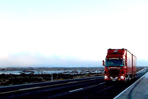
Snow is also being forecast for the Desert Roads as showers are expected to turn to snow this evening and lower to 700 metres early tomorrow.
From late Friday evening through to Saturday evening, 10 to 20cm of snow is likely to accumulate on the road above 800 metres with lesser amounts down to 700 metres.
Meteorologist John Law says the combination of strong winds and cold temperatures will lead to severe wind chill being experienced in the far south and blizzard-like conditions about higher terrain. He says the cold change is in sharp contrast to the recent warm weather experienced by many.
'As we head into the weekend we are going see maximum temperatures return to the mid-teens across many parts of the country,” he says.
'Winds are forecast to strengthen before this cold change arrives, with severe gales forecast for parts of New Zealand as outlined in the current Severe Weather Warning.
'Stronger winds can be expected, especially in the lee of the Southern Alps over inland Canterbury.” Motorists are advised that falling temperatures and snow about the higher roads could disrupt travel in the coming few days.
'Snow is likely to fall about the higher passes of the South Island overnight Thursday and even to lower parts of Southland and Otago,” adds John.
'As the cold air spreads onto the North Island later on today, we could also see some snow fall on the Desert Road.”

0 comments
Leave a Comment
You must be logged in to make a comment.