


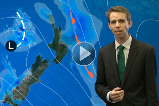
A severe weather warning has been issued for the Bay of Plenty as an active trough brings heavy rain and severe gales to the country.
The MetService expects the trough over the Tasman Sea to slowly move east of southern and central New Zealand today and over the north of the country early tomorrow.
Watch the latest severe weather update by meteorologist John Law below.
Meteorologist John Law says heavy rain is expected for the eastern ranges of Bay of Plenty and northern Gisborne, Mt Taranaki, Tararua Range, the western ranges of Nelson, Buller, Westland also for the headwaters of the Canterbury lakes and rivers.
Rain is expected to become heavy this afternoon, with 70 to 100mm of rain expected to accumulate about the higher slopes in the Bay of Plenty in the next eight hours.
Peak intensities could reach 15 to 25mm per hour.
According to the Te Puke weather station, 2.4mm of rain has fallen in the region so far today.
'The heavy rain can cause rivers and streams to rise rapidly, slips and surface flooding.”
Severe north or northwest gales are expected about Cook Strait affecting Marlborough and Wellington during today.
John warns winds of this strength can make driving hazardous, especially for high sided vehicles and motorcycles and could damage unsecured structures and powerlines.

1 comment
How I wish!!!!
Posted on 25-06-2014 17:33 | By Sambo Returns
for peace, love, and a decent storm water system for our city, ok forget the first 2, at least I can tell family abroad that the drought has broken, I really just hope that it is not another once in a 100 year event.
Leave a Comment
You must be logged in to make a comment.