


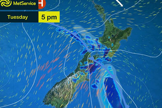
A strong southerly change is expected to barrel up the east coast of New Zealand tonight bringing the chance of rain to the North Island.
The MetService says the inbound weather system will bring a spell of wet weather to many parts of the country before things clear up and a new anticyclone moves in towards the end of the week.
A cool front is moving up the country.
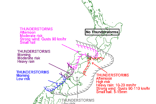
No thunderstorms are forecast for the North Island this week.
The Bay of Plenty looks set to miss out on most of the rain, with a cloudy day planned for tomorrow before the sun dominates the rest of the working week.
Daily highs in Tauranga will remain in the low 20s with overnight lows of around 10 to 13 degrees.
MetService media and communications meteorologist Dan Corbett says rain or showers will move into the southern half of the country.
'Further north, it might just turn out to be some passing showers. The southerly change up the east coast of the South Island will be a noticeable one, with even some snow likely on southern South Island ranges along with some cooler nights after it moves through.
'A new large anticyclone will begin to build across the country during the second half of the week, which should bring another mainly dry and settled spell as we head into the coming weekend.” He says this will be good news for the Balloons over Waikato festival, but little comfort for farmers looking forward to much needed rain.

0 comments
Leave a Comment
You must be logged in to make a comment.