


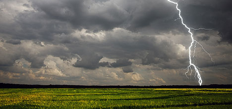
A severe thunderstorm watch has been issued for Tauranga as a large low developing in the Tasman Sea moves over the country this week.
A front with embedded thunderstorms is expected to cross the upper North Island this afternoon and evening.
The MetService says there is a moderate risk some of these thunderstorms will be severe with wind gusts in excess of 110km/h and small tornadoes over Northland, Auckland and the Coromandel Peninsula this afternoon and over the Bay of Plenty this evening.
A thunderstorm watch is in place.
"Wind gusts of this strength can cause some structural damage, including trees and power lines, and may make driving hazardous. If any tornados occur, they will only affect very localised areas," says MetService's Erick Brenstrum.
Daily highs in Tauranga are to remain around the 20 degree mark with overnight lows of around 10 degrees.
The MetService says showers are expected in Tauranga later this afternoon and are to remain for the rest of the week, with heavy rain predicted to set in on Friday.
Media and communications meteorologist Dan Corbett says the next several days will be quite a shock to the system across some parts of the country.
'The period from Tuesday afternoon through to Wednesday is expected to be showery over much of the North Island.
"Thunderstorms are likely over northern New Zealand on Tuesday afternoon and evening."
Dan says even at this early stage, there is some risk of severe thunderstorms in the north. 'MetService's Severe Weather team will be keeping a close eye on how this situation develops."
He says the colder weather will certainly be grabbing for extra warm layers.
'While not unusual for October, temperatures in the east of the South Island over the next few days are likely to be significantly colder than they have been in recent weeks. Rain is expected to turn to snow over higher ground from Mid Canterbury to Marlborough overnight Monday.
'Today, heavy snow may fall to about 500 metres in these areas, with cold persistent rain to lower levels.” Dan says this is likely to be a significant event for parts of the South Island high country.
"Farmers in these areas should be aware that vulnerable stock may be at risk. In addition, higher roads may be affected and conditions are likely to be hazardous for trampers."

0 comments
Leave a Comment
You must be logged in to make a comment.