


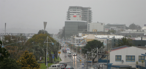
A wet and cold close to the end of the week is being predicted by the MetService as a rapidly evolving weather system arrives from the Tasman Sea.
Media and communications meteorologist Dan Corbett says the approaching weather system will linger across central New Zealand over the next couple of days.
Metservice is forecasting wet and cooler weather for central New Zealand this weekend.
'Persistent and at times heavy rain is likely over central areas but it will be much more patchy further north.'
He says a lingering low to the west of the North Island will cause the front to stall across central regions.
'Rain could be heavy at times from Taranaki down to Wellington, as well as parts of Nelson, especially over the hills and ranges.”
The slow moving front is expected to gradually weaken by Saturday, just in time for a second active front to move in.
'This will bring a surge of much colder air sweeping over the country,” says Dan.
'Behind this, the wintery air could drop snow down to very low levels across the country.”
Dan says the invigorated cold air should cover all of New Zealand by early next week bringing the risk of overnight frost as far north as the Central Plateau.

0 comments
Leave a Comment
You must be logged in to make a comment.