


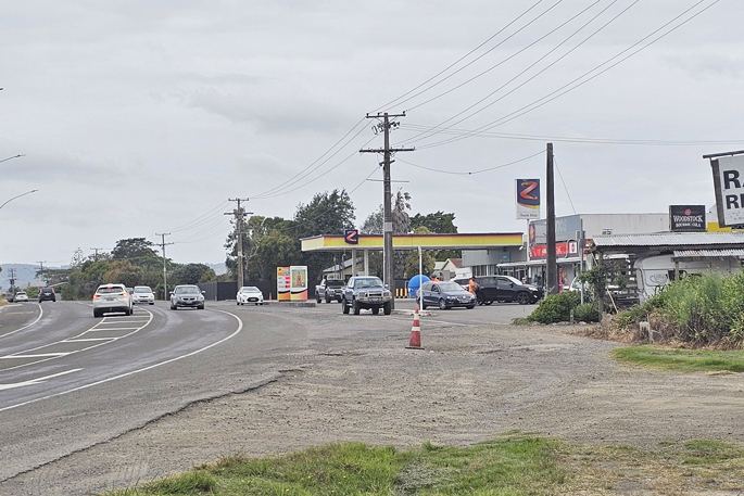
Targeted community engagement may soon begin on expanding the rural area of Awakeri, near Whakatāne, from about 100 sparsely scattered homes, into a village of 1250 homes.
Whakatāne District Council’s strategy and policy committee is being asked to approve engagement documents about the draft structure plan at a meeting today.
The roughly triangular area planned for development is bounded by Te Rahu Canal to the north, and Murphy Road to the east. To the west, it ends just beyond where State Highway 30 crosses the train tracks heading towards Kawerau.
If approved, engagement is expected to run from late this month into October and will include one drop-in session in Awakeri.
Previous engagement has taken place with iwi and hapū and with a community reference group.
Feedback from the wider engagement would be reviewed alongside the technical work and previous input to help identify any changes to the draft plan before it is reported back to the committee for further consideration and adoption.
The plan is expected to be adopted in November, subject tothe engagement.
The structure plan is non-statutory and will be used to guide council decision-making. It does not authorise development, rezone the land or commit the council to infrastructure delivery.
With Whakatāne district expected to need about 3500 new homes over the next 30 years, Awakeri was identified in the Eastern Bay of Plenty Spatial Plan as a suitable place for growth.
Factors considered in selecting it included its proximity to Whakatāne, location near State Highways 2 and 30, school and community facilities and comparatively lower natural hazard and climate risk than many other locations considered.

A map of the Awakeri Structure Plan shows where the development could happen. Image / LDR
A nature-positive design approach has been taken to create a village built around existing waterways, landscapes and ecology.
The map includes a range of housing types and densities, including options for older residents. A medium-density area with commercial opportunities would be on either side of Mangaroa Stream (marked in brown on the map), general residential density (medium grey), and large lot residential density (light grey).
A town centre with cafes and shopping areas is set out around the current shops.
Potential new roads and walkways have been set out, and town entrances identified, as have stream corridors, wetlands and stormwater management areas.
Further potential growth areas outside the boundaries of the plan have been identified for longer-term growth.
LDR is local body journalism co-funded by RNZ and NZ On Air.


0 comments
Leave a Comment
You must be logged in to make a comment.