


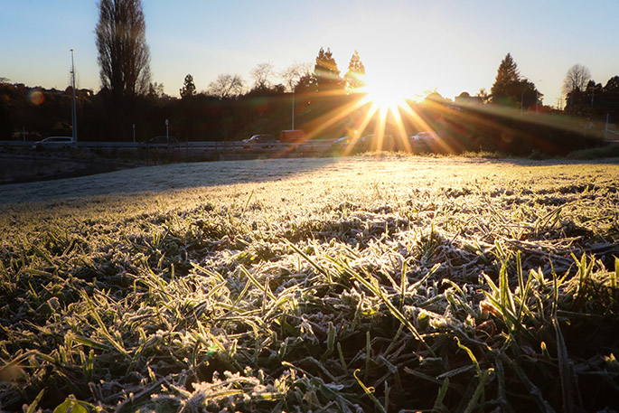
Another morning of bitter frosts and nippy breezes have seen temperatures across the North Island plummet as low as -5C overnight.
MetService meteorologist Luis Fernandes told the Herald that today’s weather pattern would remain “more or less similar” to yesterday’s bitter cold.
“It will be frosty,” he said.
“Essentially, many parts of New Zealand will continue to see clear skies under this cold air mass, so we are expecting temperatures to really take a dive once again.”
He said that although there was “a bit of a warming trend” in the South Island, “it really is going to be the North Island that’s going to continue seeing colder than normal minimum temperatures”.
The cold is particularly biting in the central North Island, with Taupō dropping to -5C, Taumarunui to -4.4C, Hamilton to -4C and Rotorua to -2.6C.
In the South Island, Pūkaki and Twizel also reached -5C overnight while Hanmer Forest got down to -4.5C.
While Tāmaki Makaurau/Auckland is sitting above 4C this morning, overnight some areas dropped below 2C - considered the threshold for frost formation - and rural Ardmore in South Auckland measured -0.2C.
The city could expect a mostly fine day today, Fernandes said, though there was a slight chance of a few morning showers.
Many parts of Wellington have also dropped below 2C overnight, with Upper Hutt measuring -2.4C and Porirua City at -1.8C.
Christchurch and Wellington were both forecast to wake to another frosty morning before clear skies through the day.
The North Island recorded its coldest morning of the year yesterday as overnight temperatures plunged well below zero. The icy conditions, including a numbing -8C in Mt Cook Village, saw Kiwis crank up the heat, pushing electricity demand to a record level.
Transpower New Zealand said peak demand reached 7141 megawatts, an all-time record, as frosty conditions swept the country. “Supply is tight as a result,” the grid operator said.
Transpower said it had been working with electricity sector partners to increase available generation, but was “not anticipating any impact on power supply to homes or businesses”.
The prolonged chill has also helped preserve snow on many ski fields, with Fernandes saying the cold conditions were “keeping things quite snowy”, particularly at lower elevations.
The current settled spell is expected to begin breaking down from tomorrow, when a front from the Tasman starts affecting the South Island.
Fernandes said by Thursday, wetter weather is forecast to spread across more of the South Island before the front pushes into the North Island overnight.
“Friday does look like it will be a wetter and windier day for the North Island,” he said, though conditions were expected to improve on Saturday, with showers easing and skies clearing as the day progresses.

1 comment
frost
Posted on 29-07-2026 08:51 | By terminal
yep jack has been busy this week ... climate change them coal burners have a lot to answer for yer right......
Leave a Comment
You must be logged in to make a comment.