


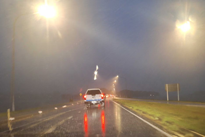
Tauranga residents are being warned to brace for heavy rain and watch out for slips and landslides.
Earlier today, the MetService upgraded its Bay of Plenty rain watch to an orange warning.
Rain was expected to intensify from this afternoon, with the risk of rapidly rising streams, surface flooding, slips and hazardous driving conditions as northeasterly winds strengthen.
Areas west of Whakatāne, including Rotorua, could expect 100mm to 140mm of rain in the 24 hours from midnight tonight, the MetService said.
Landslide risk
Given the recent weather events and subsequent rainfall over the last few weeks, Tauranga City Council said there’s an increased risk of both new landslides occurring and additional damage at sites where landslides have already occurred.
“If you learn or suspect that a landslide is occurring or is about to occur in your area evacuate immediately if it is safe to do so,” the council said.

A large slip in Tauriko after last month's deluge. Photo / Screenshot / Supplied
“Seek higher ground outside the path of the landslide. Getting out of the path of a landslide or debris flow path is your best protection.”
It advised people who felt unsafe at their property to self-evacuate to family or friends. “Take animals and any medication you may need.”
Care when driving
The council asked to people “take care while driving as road conditions may be slippery”.
“Watch out for slips and fallen trees. After heavy rainfall, streams and rivers may continue to rise. If you see rising water, do not wait for official warnings. Head for higher ground and stay away from floodwater.

Flooding on Oropi Rd, Tauranga, after last month's deluge. Photo / Supplied
“With the forecast for further adverse weather later this week and into the weekend, our teams will continue to check sites daily to ensure signage and closures remain in place.”
If residents need to report an issue, they’re advised to contact Tauranga City Council on 07 577 7000 and provide the exact location.
Western Bay residents urged to prepare
Western Bay of Plenty District Council said it’s actively monitoring conditions and preparing to respond as forecasts for another weather system are refined over the coming days.
Duty controller Peter Watson said council teams were checking known trouble spots, monitoring waterways and reviewing stormwater and roading networks, while staying in close contact with partner agencies.
“As forecasts are refined over the next day or so, our response will continue to be adjusted accordingly,” Watson said.
He acknowledged it has been a challenging start to 2026, with several significant weather events already affecting the district.
“We know that hearing about another system can feel unsettling for many people,” he said. “Taking a few simple, practical steps now can help reduce stress and make a real difference if conditions worsen.”
Council encouraged residents to secure or bring inside loose items such as trampolines, outdoor furniture and bins, and for those in flood‑prone areas to consider preparing sandbags early.
People were also advised to charge phones and devices, plan for possible power or communications outages, and remain alert to landslide risks, particularly near steep terrain or areas affected by previous slips.
Given the amount of rain already experienced in recent weeks, Watson said the risk of slips and ground movement remains elevated, even if rainfall eases.
“If you notice water levels increasing, don’t wait — move to higher ground and stay well clear of floodwater,” Watson said.
Residents who feel unsafe in their homes are encouraged to move early if possible, ideally staying with friends, family or whānau, and to take pets and essential items, including medications.
Council also urged people to check in on neighbours, friends and whānau where they can, noting that a simple call or text can make a big difference during stressful periods.
Any issues such as slips, flooding or blocked drains can be reported to council by calling 0800 926 732 or through the Antenno app.
Cyclone risk
The MetService is monitoring Tropical Cyclone Vaianu, to the west of Fiji, which has the potential to bring severe weather to parts of New Zealand towards the end of this week.
The system is a category three tropical cyclone west of Fiji, with winds around the centre in excess of 150km/h.
Vaianu is forecast to move south-eastwards and, although the centre of the system is remaining to the south of Viti Levu, severe weather warnings cover much of Fiji.
As it moves south, it is forecast to bring strong winds, heavy rain and large swells to parts of New Zealand on Sunday.
While the heaviest rain is currently expected across the north and east of the North Island, the areas that will be impacted and the intensity of those impacts will be heavily dependent on the path the tropical cyclone takes as it approaches New Zealand.

Tropical Cyclone Vaianu is expected to hit New Zealand on Sunday. Image / MetService
The MetService said this storm has the potential to impact large parts of New Zealand, in terms of both heavy rain and strong winds.
“With the potential to bring more severe weather, Tropical Cyclone Vaianu is a system that we are keeping a very close eye on,” MetService meteorologist John Law said.
“The exact path and intensity of the storm as it heads towards us in New Zealand is yet to be determined, however it does look like we will be seeing some impacts from this system during the weekend.”
The current severe weather warnings, which relate to a different system moving across the country today, will be replaced with a fresh set of severe watches and warnings in the coming days.

1 comment
slips
Posted on 08-04-2026 14:41 | By terminal
eha go the mount ... slip sliding away goin to cost the ratepayers heaps one day
Leave a Comment
You must be logged in to make a comment.