A southerly change and dropping temperatures will give a real wintery feel with the MetService forecasting “an active start to the week”.
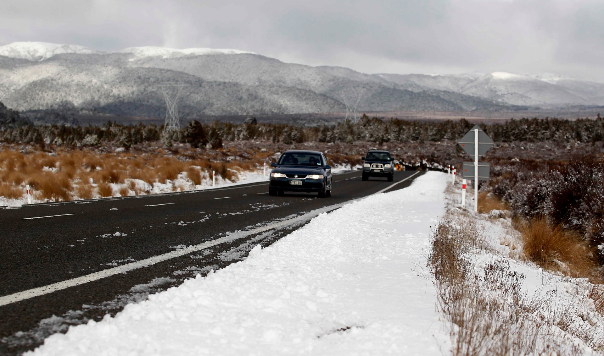
A road snowfall warning has been issued for the Desert Rd.
In the eight hours from 12pm tomorrow, MetService forecasts snow showers to affect the road above 700 metres for Tuesday afternoon and evening.
“Two to 4cm may accumulate about and south of the summit, with lesser amounts further north,” the weather organisation said in its latest update.
Strong southerlies are also expected to affect much of New Zealand.
The North Island was set to receive a real mixed bag over the work week, said meteorologist Katie Hillyer.
A narrow band of rain moves from west to east today, followed by showery conditions.
For western parts of Taranaki, Waikato, Auckland, and Northland there is a risk of thunderstorms and hail tonight and tomorrow, with gusts of 80-100km/h possible today amongst a background of strong westerly winds.
“This is the kind of situation where localised gusty winds thrive, so it’s a good idea to secure outdoor objects,” said Hillyer.
The cold showery southerly air that is currently moving up the South Island reaches Wellington tonight, then continues north, reaching the northern tip of Aotearoa New Zealand by Tuesday night.
These showers and dropping temperatures mean snow to 500-700 metres, affecting higher level roads.

0 comments
Leave a Comment
You must be logged in to make a comment.