


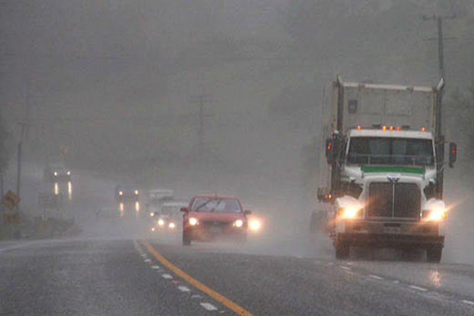
A wet week is on the cards for many places in New Zealand, especially the northern and eastern North Island where rain could be heavy.
This weather forecast comes on the back of a mostly dry weekend.
A front is spreading rain over many places today and is expected to linger over the North Island this week bringing bursts of rain.
Tauranga and the wider Bay of Plenty east of Kawerau has been placed under a heavy rain watch as of Monday evening.
The watch is expected to remain in place for 39 hours from 9pm Monday, September 19 to Wednesday, September 21.
There will also be rain or showers for parts of the South Island and possibly a few thunderstorms as well, although the outlook is looking better for South Islanders later in the week.
The heaviest falls in the first half of the week are likely to be in Northland and eastern Bay of Plenty where Heavy Rain Watches have been issued.
'Bursts of heavy rain are also likely in the upper North Island outside of the current Watch areas, so it is important to stay up to date with the latest forecasts from MetService," says MetService meteorologist Stephen Glassey.
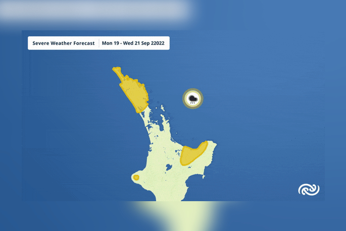 Image: Metservice New Zealand.
On Thursday and Friday, a low pressure system develops over the North Island, bringing another bout of rain.
'There is always a bit of uncertainty when lows develop over New Zealand regarding the exact distribution of rain, but it looks likely that the heaviest rain later in the week will be in the east of the North Island, whereas in the first half of the week, the heaviest falls are likely in the top half of the island. So, the big picture is that there should be periods of rain in most places in the North Island.”
By comparison, most of the South Island is in for a more settled run of weather after Wednesday, especially the West Coast where it is looking particularly sunny.
The latest severe weather information can be found here.

0 comments
Leave a Comment
You must be logged in to make a comment.