


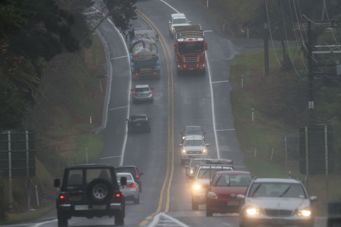
MetService is forecasting rain for parts of the North Island over the next few days, with the wettest spots this weekend likely to be Bay of Plenty, Gisborne and Hawke's Bay.
Meanwhile, a ridge of high pressure brings mostly dry weather to the South Island.
However, a low is forecast to move across the country early next week bringing rain and wind to most places.
"A rather complex trough developing over the North Island is the rainmaker, and while the wettest spots this weekend are likely to be in eastern areas of the North Island, nowhere in the North Island is guaranteed to stay dry," says MetService meteorologist Stephen Glassey.
"Over the South Island, mostly fine weather is forecast until Monday, with only isolated showers for northern and eastern parts."
On Monday, a low approaching from the Tasman Sea is set to move across New Zealand, bringing the settled spell of weather over the South Island to an end.
The low should bring wet and windy weather to most of the country early next week.
As the low pulls away to the east on Tuesday, colder air from the south is dragged over the South Island.
There is a signal for more snow for inland parts of the South Island but it shouldn't fall to as low levels as NZ saw earlier this week.
"Changeable weather is typical of spring and fluctuations in temperature are expected. It is not uncommon to get warm, settled weather followed by cold outbreaks at this time of year."
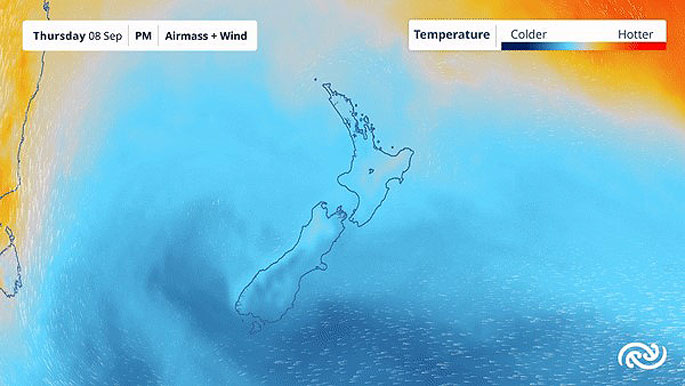 Image: MetService.

0 comments
Leave a Comment
You must be logged in to make a comment.