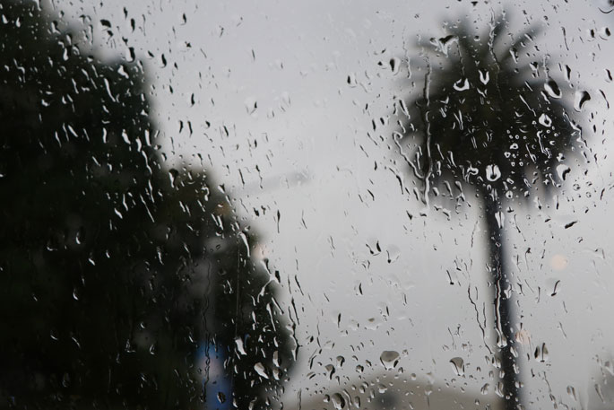
Heavy rain is on the cards for the Bay of Plenty tomorrow, July 28, with MetService issuing a heavy rain watch for east of Whakatane.
"An unsettled northwesterly flow is forecast to bring periods of heavy rain to parts of central and southern North Island during Thursday, July 28, where Heavy Rain Watches remain in force," says a MetService spokesperson.
"Periods of heavy rain, with thunderstorms possible. Rainfall amounts may approach warning criteria, especially about the ranges."
People are advised to keep up to date with the latest forecasts in case any changes are made, or further areas are added.
MetService also issued a heavy rain watch for the following areas:
Area: Tongariro National Park Valid: 12 hours from 6.00 am to 6.00 pm Thursday, July 28. Forecast: Periods of heavy rain, with thunderstorms possible during the afternoon. Rainfall amounts may approach warning criteria. Area: Mount Taranaki Valid: 15 hours from 2.00 am to 5.00 pm Thursday, July 28. Forecast: Periods of heavy rain, with thunderstorms possible.Rainfall amounts may approach warning criteria. Area: Horowhenua to Wellington and the Tararua Range Valid: 15 hours from 7.00 am to 10.00 pm Thursday, July 28. Forecast: Periods of heavy rain. Rainfall amounts may approach warning criteria.
For all current severe weather watches, visit the MetService website.For the latest Tauranga forecast, visit https://www.metservice.com/towns-cities/locations/tauranga.

0 comments
Leave a Comment
You must be logged in to make a comment.