


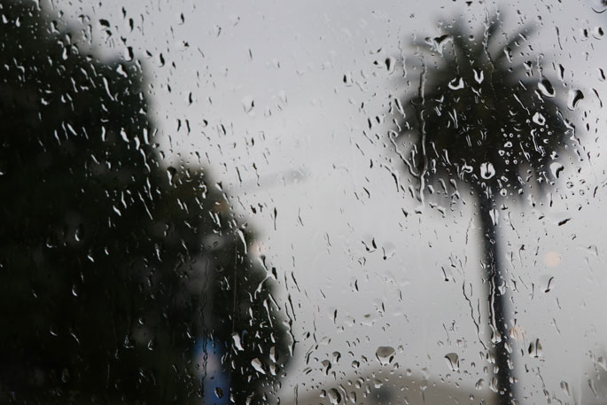
Heavy rain and strong winds are set to continue across New Zealand, slowly spreading north as the week progresses, with MetService issuing a plethora of Severe Weather Warnings and Watches for the stormy conditions
'There are warnings in place for much of the South Island and Wellington."says MetService Meteorologist Tui McInnes.
"Significant rain has already fallen in Fiordland, far with 450mm in the 24 hours to 11am Monday morning recorded at a high elevation station (1211m) and around 145mm near sea level at Milford Sound.
'Strong winds have also moved across the island, with a 163km per hourh gust at the very exposed Puysegur Point.”
The wet and windy weather system spreads north and builds over the North Island over the next couple of days, with further potential for heavy rain and isolated thunderstorms expected there from Tuesday. And while the heaviest rain eases in the south, there is more to come.
'The fronts bringing the heavy rain transition into a broad low-pressure system wrapping rain across much of the country from Tuesday,” says Tui.
'This will bring more severe weather; heavy rain and snow to low levels as well as some very strong southerly winds.
"But respite is in sight! The low moves away to the east as the working week comes to an end and a high-pressure system begins to slink over the South Island. 'While most Kiwis can still expect cloudy conditions, the windy, sodden conditions of the week gone by will be somewhat more of a memory – making for a nice last weekend of the school holidays.”
Tui says with all the severe weather around, remember – kia haumaru, stay safe and stay up to date with the forecasts.

1 comment
Councils take note.
Posted on 19-07-2022 06:42 | By The Professor
All this bloody rain and insufficient infrastructure to collect it. The Councils will soon be placing hose pipe and sprinkler bans on us again. Crazy in such a wet country!!
Leave a Comment
You must be logged in to make a comment.