


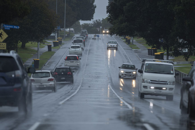
A severe weather warning has been issued by the MetService for parts of New Zealand.
"Significant heavy rain and severe gale northwesterlies are forecast for parts of southern and central New Zealand," says a MetService spokesperson.
An active front which has been approaching the South Island from the Tasman Sea overnight Sunday, will then move northeast over the Island during Monday and Tuesday.
"This front, preceded by a strong, moist and unstable northwest flow, is expected to bring significant heavy rain to western and central parts of the South Island and severe gales to Fiordland and eastern areas of the South Island, also possible for Wellington and southern Wairarapa.
"This is likely to be a significant severe weather event."
People are advised to keep up to date with the latest forecasts, as some areas could be upgraded to Red Warning, and more areas are added.
A heavy rain warning has been issued for the following areas:
Westland south of Otira
Valid: 40 hours from 9:00 pm Sunday to 1:00 pm Tuesday
Forecast: Periods of heavy rain, with thunderstorms. Expect a further 250 to 400mm of rain to accumulate about the ranges on top of what has already fallen,and 80 to 150mm near the coast. Peak rates of 15 to 25 mm/h about the ranges.
Freezing level about 1700 metres, rising to about 2000 metres overnight Sunday.
The headwaters of the Canterbury lakes and rivers south of Arthur's Pass
Valid: 40 hours from 9:00 pm Sunday to 1:00 pm Tuesday
Forecast: Periods of heavy rain, with thunderstorms possible. Expect a further 250 to 400mm of rain to accumulate about the main divide on top of what has already fallen, and 180 to 250mm within 25 to 30km east of the divide especially south of the Rakaia River. Peak rates of 15 to 25 mm/h about the divide.
Please note, this is unusually significant spillover, and 50 to 120 mm of rain could fall between 30 and 50km east of the divide during this time.
Please also note, that significant snowmelt could further enhance river flows.Freezing level about 1700 metres, rising to 2000 metres overnight Sunday.
The headwaters of Otago lakes and rivers
Valid: 39 hours from 9:00 pm Sunday to 12:00 pm Tuesday
Forecast: Periods of heavy rain, with thunderstorms possible. Expect a further 220 to 320mm of rain to accumulate about the divide on top of what has already fallen, and 120 to 200mm within 20 to 25 km east of the main divide. Peak rates of 15 to 25 mm/h about the divide.
Note, freezing level 1700 metres, rising to about 2000 metres overnight Sunday.
Fiordland
Valid: 25 hours from 9:00 pm Sunday to 10:00 pm Monday
Forecast: Periods of heavy rain with thunderstorms. Expect a further 150 to 230mm of rain to accumulate north of Doubtful Sound on top of what has already fallen, and 80 to 140mm farther south. Peak rates of 15 to 25 mm/h.
Heavy rain may cause streams and rivers to rise rapidly. Surface flooding and slips are also possible and driving conditions may be hazardous.
A strong wind warning has been issued for the following areas:
Marlborough
Valid: 32 hours from 2:00 am Monday to 10:00 am Tuesday
Forecast: Northwest gales are forecast to be severe in exposed places at times,with gusts reaching 120 km/h.
Canterbury
Valid: 33 hours from 9:00 pm Sunday to 6:00 am Tuesday
Forecast: Northwest gales are forecast to be severe in exposed places, with gusts reaching 140 to 150 km/h about the High Country, and 120 km/h farther east.
Otago
Valid: 26 hours from 9:00 pm Sunday to 11:00 pm Monday
Forecast: Northwest gales are forecast to be severe in exposed places, with gusts reaching 120 to 130 km/h.
Fiordland, Southland and Stewart Island
Valid: 22 hours from 9:00 pm Sunday to 7:00 pm Monday
Forecast: Northwest gales are forecast to be severe in exposed places, with gusts reaching 120 km/h.
Strong wind gusts could damage trees, powerlines and unsecured structures.Driving may be hazardous, especially for high-sided vehicles and motorcycles.

0 comments
Leave a Comment
You must be logged in to make a comment.