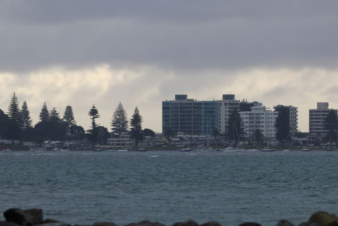
A number of severe weather watches and warnings in place for New Zealand as unsettled weather continues around the country.
In the Bay of Plenty, we have already seen a mix of rain, sunshine and wind, along with some cooler temperatures. This sort of unsettled weather is expected to hang around until at least Monday.
But why is this all happening? WeatherWatch.co.nz explains below.
"A deep low/storm in the Southern Ocean is dredging up Antarctic air - but before it reaches NZ it's curving around as a nor'wester and merging with milder airflows," says a spokesperson for the weather organisation.
"This combination is creating the perfect zone for squalls, hail and thunderstorms along western NZ, mostly focused around central areas (upper half of the South Island, lower half of the North Island).
"With the low not budging for a number of days the weather is set to be on rinse and repeat until about Tuesday, when a milder and calmer westerly flow from Australia covers most of New Zealand."
#Updated 72 Hour #Snow Map for #NewZealand (Saturday, Sunday & Monday).
— WeatherWatch.co.nz (@WeatherWatchNZ) June 10, 2022
Not a lot has changed. Still seeing up to 1.5 metres of snow (150cm) on the tops of the Southern Alps.
Now the Central Plateau showing heavier snow (Monday is the coldest day for the North Island). pic.twitter.com/irCTnFTe0G
What's causing all our #thunderstorms?
— WeatherWatch.co.nz (@WeatherWatchNZ) June 10, 2022
1⃣Deep low/storm in the Southern Ocean
2⃣Injection of cold Antarctic air
3⃣Cold air mixing with milder air over central & northern New Zealand
4⃣Marine heatwaves around NZ add extra fuel
5⃣Perfect set up for #thunderstorms & squalls! pic.twitter.com/Y7YWvlve8l
What a long reaching southerly flow, directly from #Antarctica, over the #SouthernOcean, the #TasmanSea & then curving around over #NewZealand as a milder nor'wester.
Green circle highlights the #SouthPole!
This interactive wind map can be found here: https://t.co/BICpACU3bV pic.twitter.com/mh7987lHHu— WeatherWatch.co.nz (@WeatherWatchNZ) June 10, 2022
It's an unusual Antarctic blast for #NewZealand because the airflow is coming in here as a westerly for now... and that's keeping our overnight temperatures warmer than average in many parts of the country (due to the windy weather - rather than frosty calm June nights). pic.twitter.com/cBnKJpkfqF
— WeatherWatch.co.nz (@WeatherWatchNZ) June 10, 2022


0 comments
Leave a Comment
You must be logged in to make a comment.