A high-pressure system parked over New Zealand means settled weather continues for the rest of the working week.
However, MetService is forecasting a change in the weather this weekend as a frontal system pushes across the country.
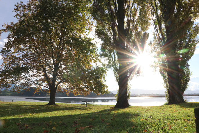
The high-pressure system currently residing over the country means clear skies and light winds were observed across most regions overnight.
These conditions, in conjunction with cool southeasterly winds, allowed temperatures to cool significantly, resulting in most places across the country seeing their coldest morning of the year so far.
"Both Auckland and Whenuapai airports saw their coldest temperature so far this year, with 4.7°C at 7am and 3.5°C at 1:30am respectively," says MetService Meteorologist Ashlee Parkes.
"However, the central North Island was the coldest region in the country this morning. At 7am, the Desert Road got down to -4.7°C, and Taumarunui to -3.6°C, also the coldest morning of the year for them."
The settled weather continues to finish off the working week before a warm frontal system pushes onto the country from the Tasman Sea this weekend, bringing changeable weather.
Rain spreads across South Island regions during Saturday and onto North Island areas on Sunday.
A Heavy Rain Watch is currently in place for Fiordland and southern Westland beginning Saturday morning.
This warm frontal system also drags some humid air from the tropics with it, as well as increasingly cloudy conditions.
"This morning will be the coolest across the country for a wee while as the front arriving this weekend brings some warmer air with it. Auckland has a forecast overnight low temperature of 16°C on Sunday, a pretty big difference to the 4.7°C recorded at Auckland Airport this morning."
The unsettled weather looks to continue into early next week as the frontal system continues to affect the country.

0 comments
Leave a Comment
You must be logged in to make a comment.