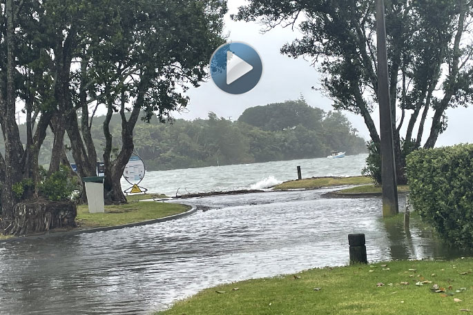
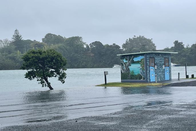
Surface flooding is being reported in low lying coastal areas of the Bay of Plenty as a storm moves in over the region.
High tides, low air pressure and rain has resulted in the surface flooding seen around the BOP today.
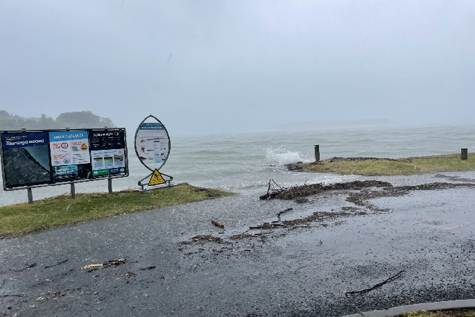
According to the Port of Tauranga website, swells in the Bay of Plenty region are causing waves to reach a maximum height of seven metres.
The swell is causing the average wave to be read at 3.4 metres.
Wind gusts coming from the Northeast are reaching a high of 39 knots.
Coastguard operations manager Dane Robertson is encouraging people to be aware of these dangerous conditions.
'Metservice has said that we will be reaching winds of about 45 knots, which is approaching storm level winds.
'We're definitely in that rough stage. This is expected to ease off on Thursday evening, according to Metservice.”
More information can be found at the Port of Tauranga sea conditions website at http://www.port-tauranga.co.nz/cargo-and-shipping/harbour-conditions/.
A severe weather warning for heavy rain was issued overnight and remains in place today.
A thunderstorm watch issued by the MetService earlier this morning has now been upgraded.
The weather organisation says a severe thunderstorm watch for Auckland has been lifted, but now extends southwards to include most of Waikato.
'A frontal system and associated heavy rain is moving south over Coromandel Peninsula and Waikato.
'There is a high risk of thunderstorms embedded in the rain. These thunderstorms are expected to bring heavy rain with intensities of 15 to 25mm/h, and strong winds gusting 90 to 110km/h."

0 comments
Leave a Comment
You must be logged in to make a comment.