NIWA's research vessel Tangaroa is preparing to set sail to explore the biodiversity of deep sea habitats in the outer Bay of Plenty and southern Kermadec Ridge.
On Saturday scientists will sample a variety of habitats over an area of 10,000 square kilometres.
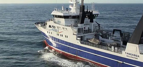
NIWA's research vessel Tangaroa.
They will be collecting information on the composition of deep-sea biological communities and data, which can be used to help understand their vulnerability to human activities.
Voyage leader Dr Malcolm Clark says when scientists study deep-sea habitats they often look at just one - such as a seamount.
'This programme, however, considers several habitats, to assess their similarities.
'On this voyage we are surveying seamounts, hydrothermal vents, canyons and the continental slope to determine if each has unique faunal elements.”
He says scientists will be investigating depths between 700 and 1500m.
Malcolm says New Zealand has a very diverse seafloor and, unlike many places overseas, deep-sea habitats occur in close geographical proximity, which allows this type of robust multiple- habitat research to be done.
Scientists will analyse biodiversity patterns, and establish the nature of linkages between the habitats.
'This will improve our understanding of the connections between these habitats, which can help management of the environment, for activities like fishing.
'These areas may need to be managed as connected units and not seen in isolation. It's like on land - you need to know about the hill country as well as the coastal plains and how they are interrelated.”
Scientists believe the seabed communities of deep-sea habitats such as seamounts, vents, canyons and seeps, are in some cases fundamentally different from each other and from those found on the continental slope.
Malcolm says they have some fauna in common, but often the environmental conditions are so different that they can host unique animals, adapted to the specific conditions.
He says often these deep-sea species grow and reproduce slowly, and live in only a small area, which makes them vulnerable to impacts from human activities.
In some of these habitats, animals crowd together for feeding or breeding. On the continental slope the animals are more spread out and, as a result, less vulnerable.
This is the second survey in the research programme, the first was carried out on the Hikurangi margin near Cook Strait in 2010.
'The reason we are looking at two different areas is to ensure we don't draw general conclusions from just one area where conditions may be unusual.
'If we find differences between a seamount and a canyon in Cook Strait, they could be due to something specific to Cook Strait, but then if we go to the Bay of Plenty and find similar differences between a seamount and a canyon it gives us more confidence that seamount and canyon environments are driving the difference, rather than the geographical area.”
The information obtained from this voyage and the first survey will be combined and analysed over the coming year to determine the overall vulnerability patterns.
These will then be used in ecological risk assessments for environmental management agencies such as the Ministry of Agriculture and Forestry and the Environmental Protection Agency.

1 comment
What a great Job
Posted on 13-04-2012 15:16 | By Surfwatch
Well, wouldnt it be great to get paid to be on the vessel having such exciting times.
Leave a Comment
You must be logged in to make a comment.