New Zealand has two surges of cold air coming which may produce frosts, slow down pasture growth and convince more leave on trees to lose their green.
This year it appears we have "Autumn classic" - a slow traditional start to Autumn with less of the drama of previous years, says WeatherWatch.co.nz
The upcoming weather pattern shows plenty of high pressure in the New Zealand and Tasman Sea areas, which overall helps keep us mild by day and drier than average.
"However this next high will be centred quite south of most places and that encourages further 'reach' over the Southern Ocean. Or, put another way, this next high will scoop up colder air and send it over NZ.
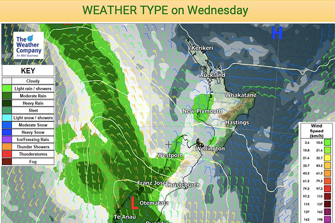
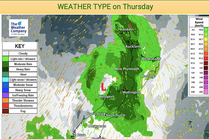
"Wednesday's burst of heavy rain on the West Coast will spread into the North Island on Thursday then fall apart.
"This is NZ's best chance for nationwide rain for another week or two, although next week sees plenty of showers, especially in the North Island and eastern areas."
After this front is the first burst of cold air, affecting Thursday and Friday. The second burst of cold air comes ahead of the next big southern high early next week around Monday and Tuesday.
A few frosts are possible through inland parts of the South Island, most likely Thursday night/Friday morning, says the weather organisation.
The risk returns early next week too.
"The North Island isn't as cold but even this weekend and early next week temperatures will be hovering near the frost mark in the Central Plateau with low single digit overnight lows elsewhere inland for a time."

0 comments
Leave a Comment
You must be logged in to make a comment.