
New Zealand is facing days of afternoon downpours, mainly inland, and this will make for a wetter than average week ahead in some places.
The set up is unusual in that there are three large areas of high pressure moving into the New Zealand area but caught among them is an area of low pressure, says WeatherWatch.co.nz
T"his weak area of low pressure will allow moisture to be added to the mix meaning we'll get some drizzly or cloudy mornings but then some big afternoon cloud build ups once the heat kicks in, leading to downpours and likely inland thunderstorms."
Most exposed is the North Island's interior in the coming days and some downpours or thunderstorms may drift into large centres.
Many coastal fringes generally speaking look drier. Inland there is a risk of flash flooding and even cloud to ground lightning strikes.
WeatherWatch.co.nz says the unsettled weather pattern in the New Zealand area will continue up until at least around Christmas.
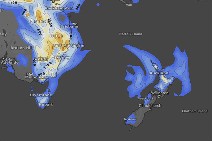 Thursday.
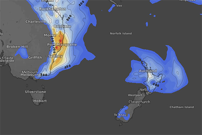 Friday.
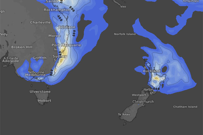 Saturday.

0 comments
Leave a Comment
You must be logged in to make a comment.