One of the largest aerial mapping programmes in the country will get under way in the Bay of Plenty this summer.
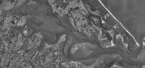
An aerial photo of Tauranga.
BOPLASS Ltd, the Bay of Plenty Local Authority Shared Services company, has let a $1.65 million dollar aerial mapping contract to Hasting based Aerial Mapping Ltd.
The contract on behalf of the consortium of seven councils is one of the largest ever let in New Zealand.
It is part of a programme designed to provide regular updates of imagery for Bay of Plenty Regional Council, Rotorua District Council, Tauranga City Council, Whakatane District Council, Western Bay of Plenty District Council, Kawerau District Council, and Opotiki District Council.
Aerial Mapping will be doing the photography this summer. Processing the photography to produce a seamless view to scale, with roads in correct alignment with terrain and survey marks will take longer.
Boplass chief executive officer Ross Carter is not expecting the councils will receive their new aerial maps until next May.
Boplass hasn't made any decision about making the photography available to Google, says Ross, though he supports the general principle.
The current Google Earth images of the Bay of Plenty were provided by Environment BOP, following a previous aerial mapping programme.
Ross says the photography for Boplass Ltd will be at three levels of resolution; 1:5000 for rural areas, 1:2000 for coastal regions, and 1:1000 over urban areas.
'I just means the planes fly at different heights to get the resolutions we want,” says Ross.
Satellite photography wasn't a lot cheaper and is not as suitable for local body purposes, says Ross.
Aerial photography is used by councils in understanding land use, development, and topographical changes to assist in planning for the future. The images will eventually be available to ratepayers and other interested parties.
Boplass Ltd is a council owned company set up by the councils in the Bay of Plenty and Gisborne Regions to bulk buy and achieved cheaper shared services. The company has already had significant success with other projects and provided substantial savings for its nine participating councils, seven of which are involved in the aerial mapping project.

0 comments
Leave a Comment
You must be logged in to make a comment.